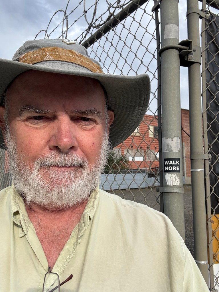
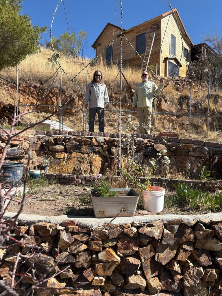
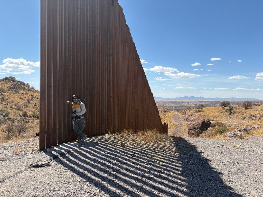
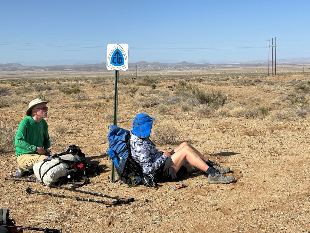
Due to other plans for the summer I didn’t think I’d have time to hike the entire CDT this year. But I decided to tackle the southernmost 500-some miles from the Mexican border to Grants, NM, in April and convinced Stevie T (trail name “One-K”) to come along for the first 150 miles or so. And since the southernmost 1.5 miles of the Arizona Trail were off limits the year we hiked (due to border wall construction) we decided to tag that border on our way to the CDT, and thus officially complete the AZT. So we flew to Tucson and rented a car. Then we drove to Bisbee, AZ to spend the night with my friends Ed and Rose before driving to the AZT trailhead the next day. It all went as planned, we had a great visit in Bisbee and tagged the border the next day. Then we drove back to Tucson and overnighted in a hotel before catching a Greyhound bus to Lordsburg, NM. We’ll spend the night here and catch the CDT shuttle to the trail terminus tomorrow.
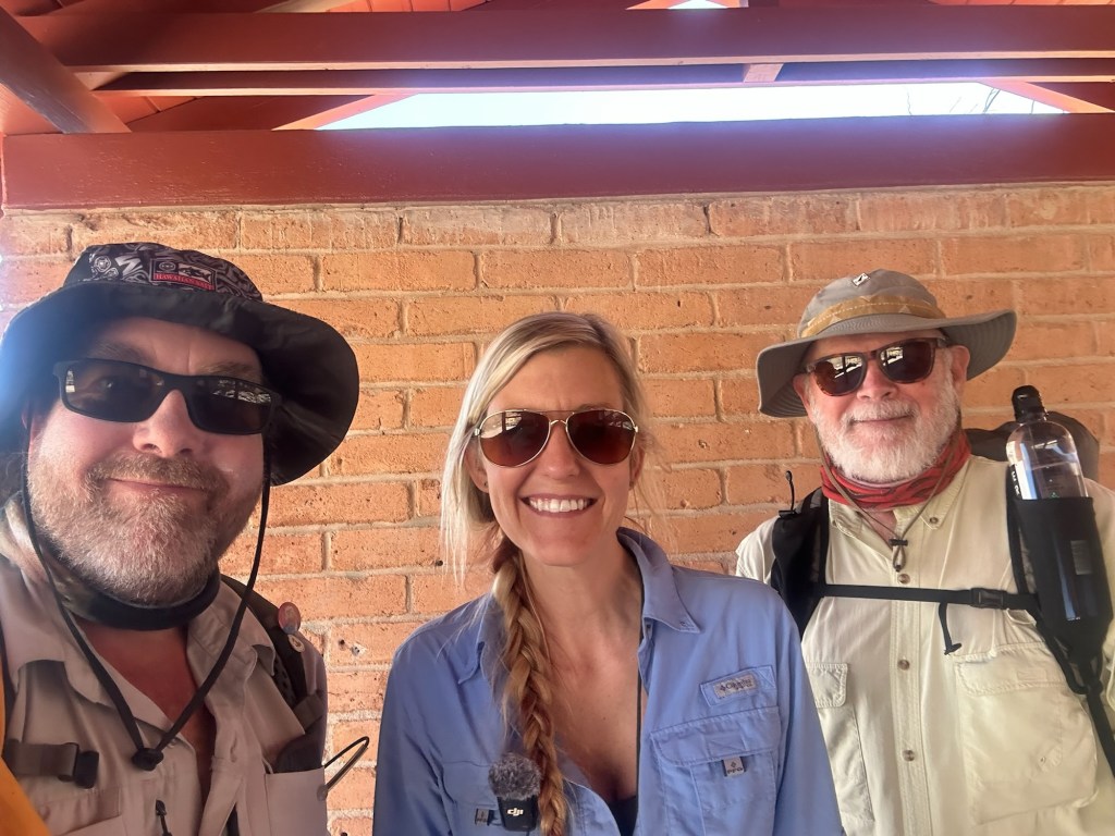
At the AZT trailhead we bumped into Dixie, a well known hiking blogger on YouTube and had a very nice chat with her. She’s a very cool person and it was a real pleasure to spend a few minutes with her.
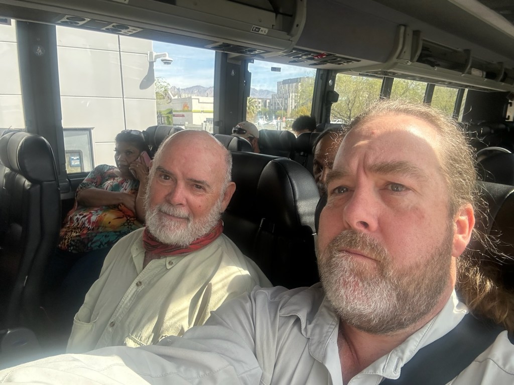
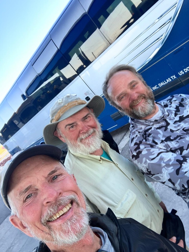
The Greyhound bus trip was a bit of an experience, but the driver was nice and we met a fellow CDT hiker on the bus. His trail name is Mama Troll and he’s from Scotland. Nice fellow, and we had supper with him at the local restaurant. It seems like we’ll have similar paces on the trail, so we might be seeing a bit of him on the trail.
March 29
Day 1, 18 miles
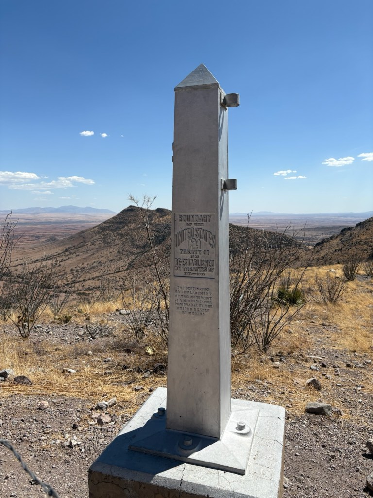
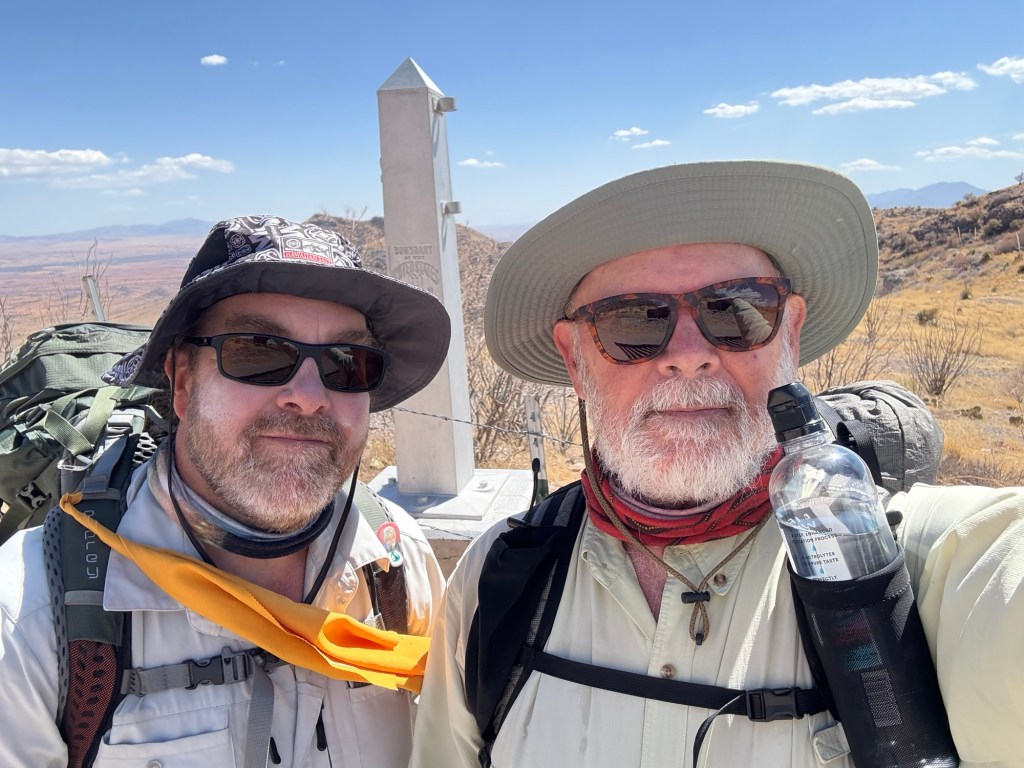
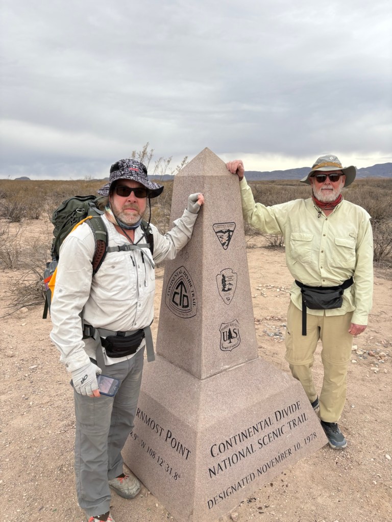
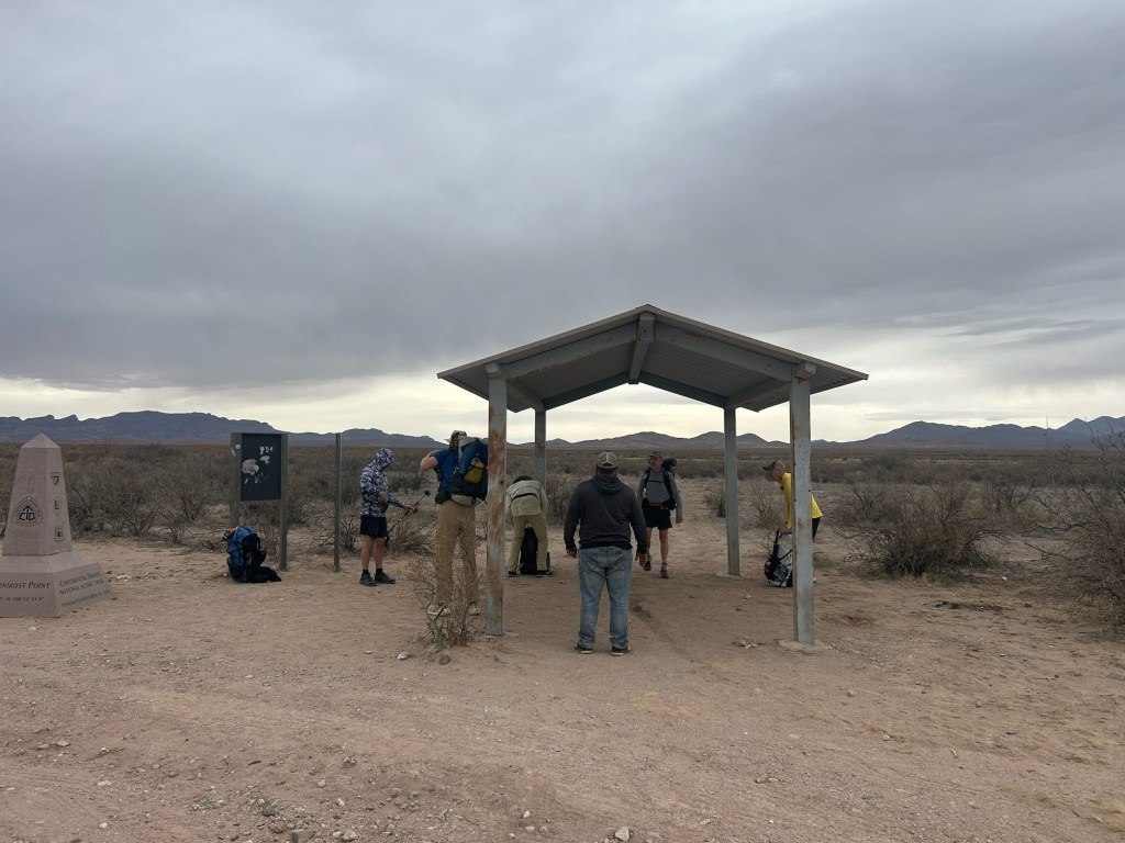
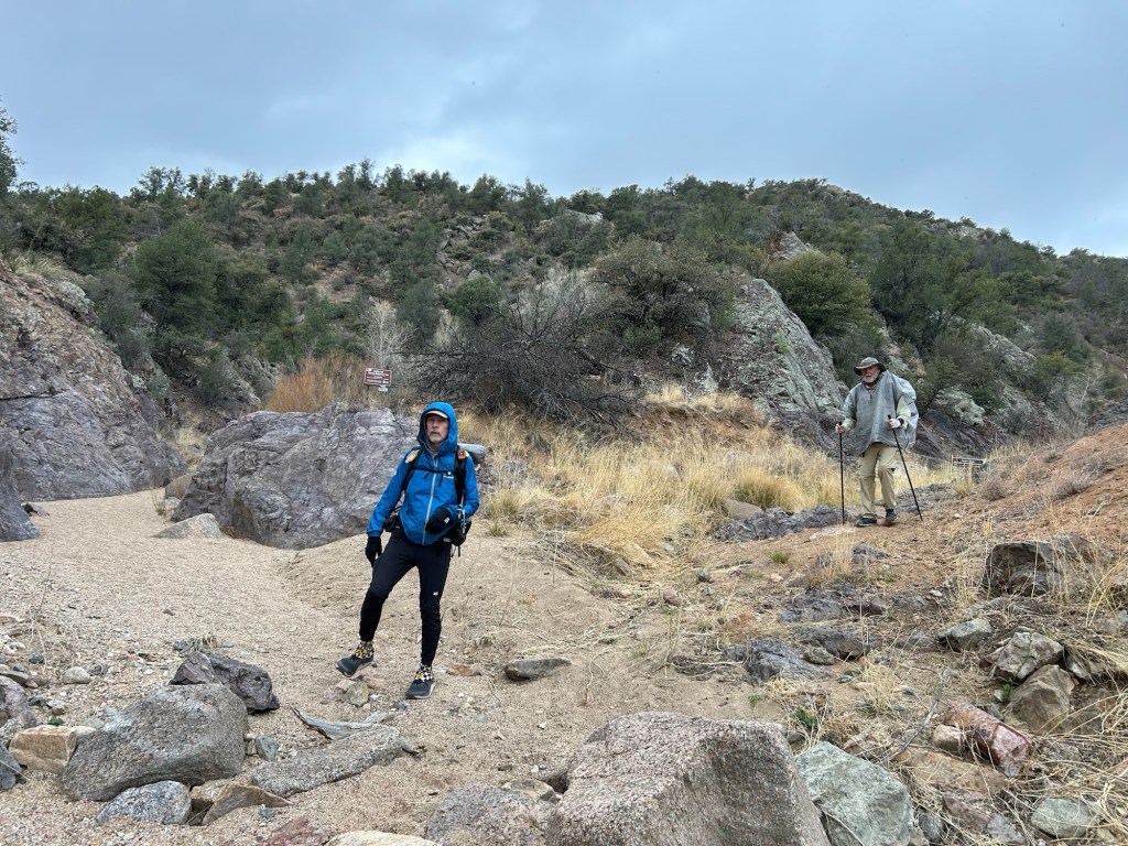
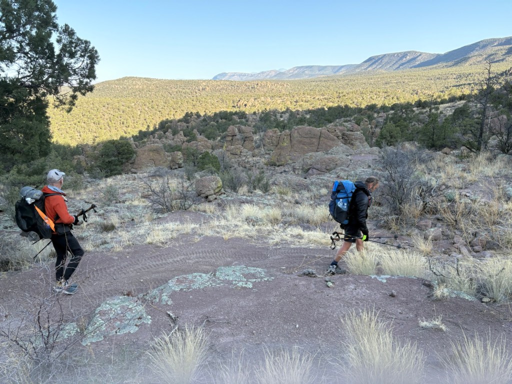
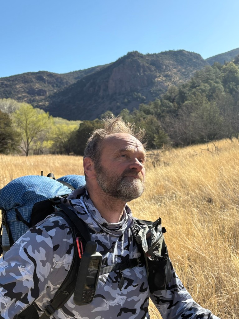
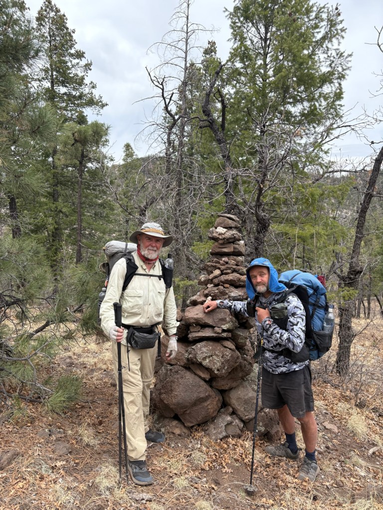
We were up at 5:00, packed up, and out of the hotel by 5:45. We walked up to the shuttle pick-up spot. After a short check in, we were on the road at 6:15 with 6 hikers in the SUV. After a short stop at the convenience store in Hachita we continued on to the border. The road soon turned to gravel and became progressively rougher. At about 9:30 we arrived at the border and after the obligatory photos at the monument, we were hiking.
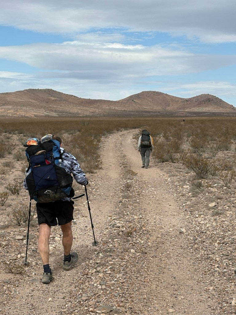
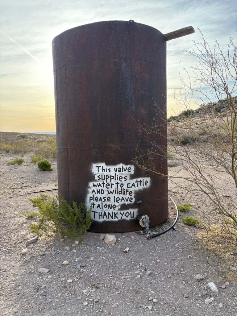
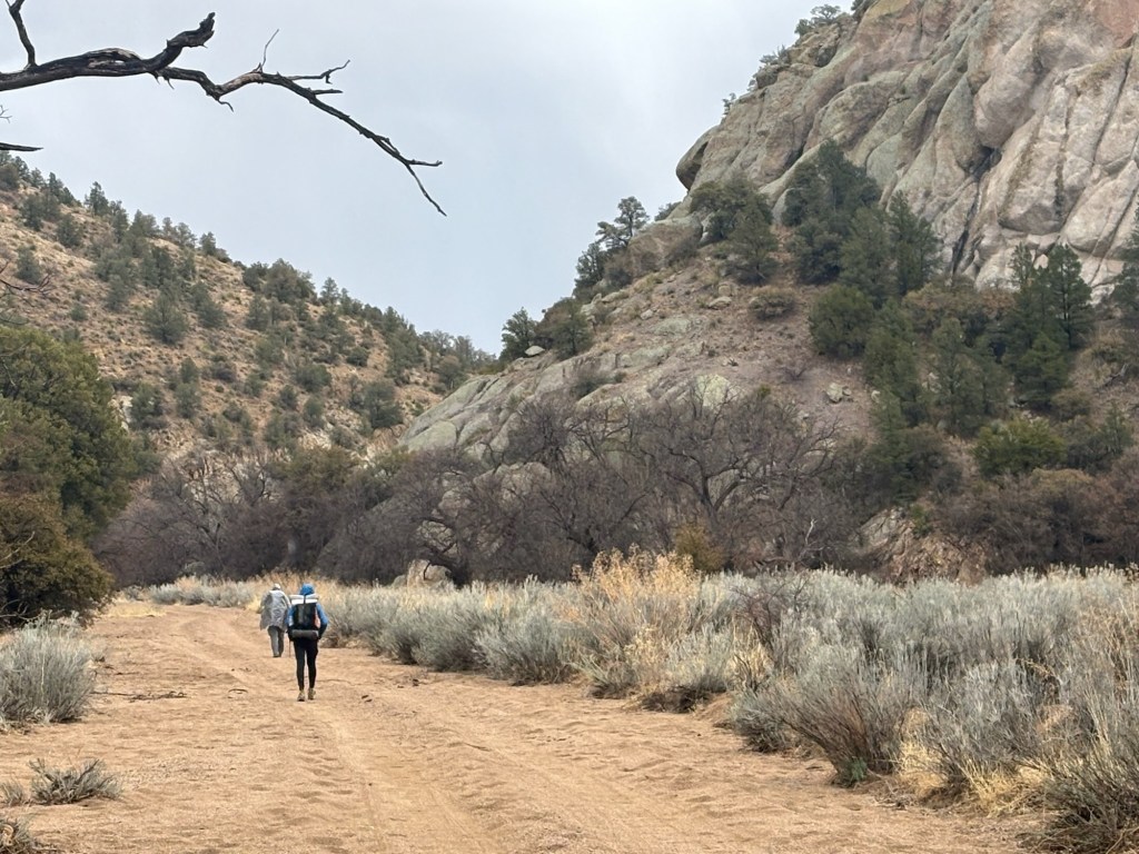
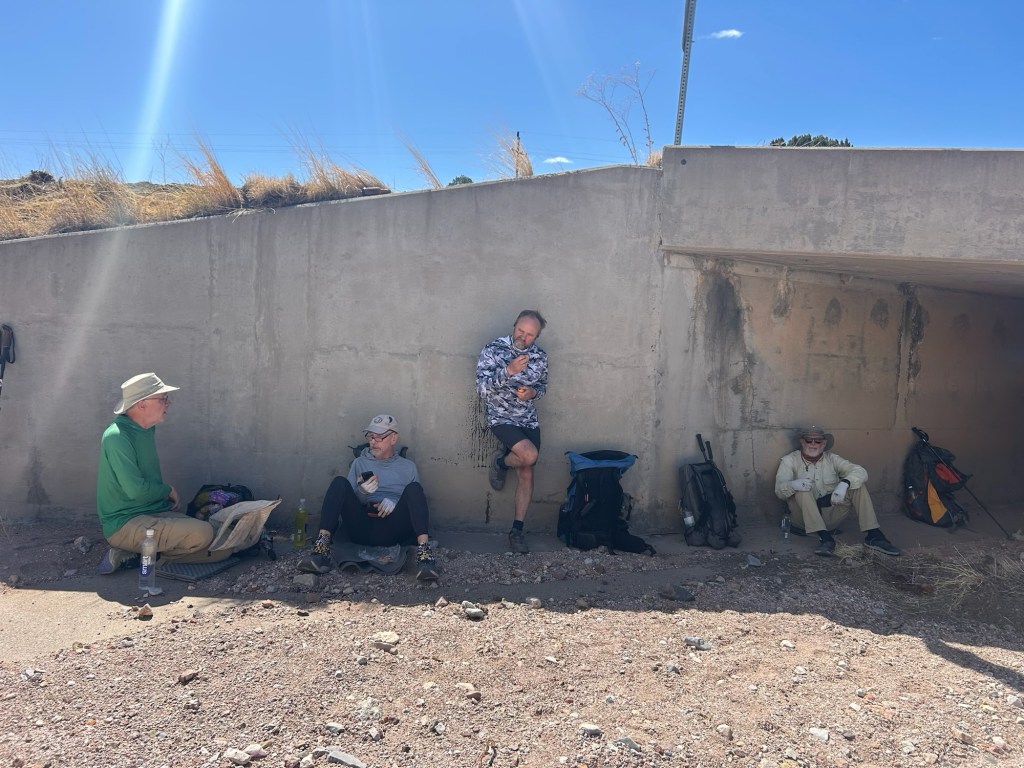
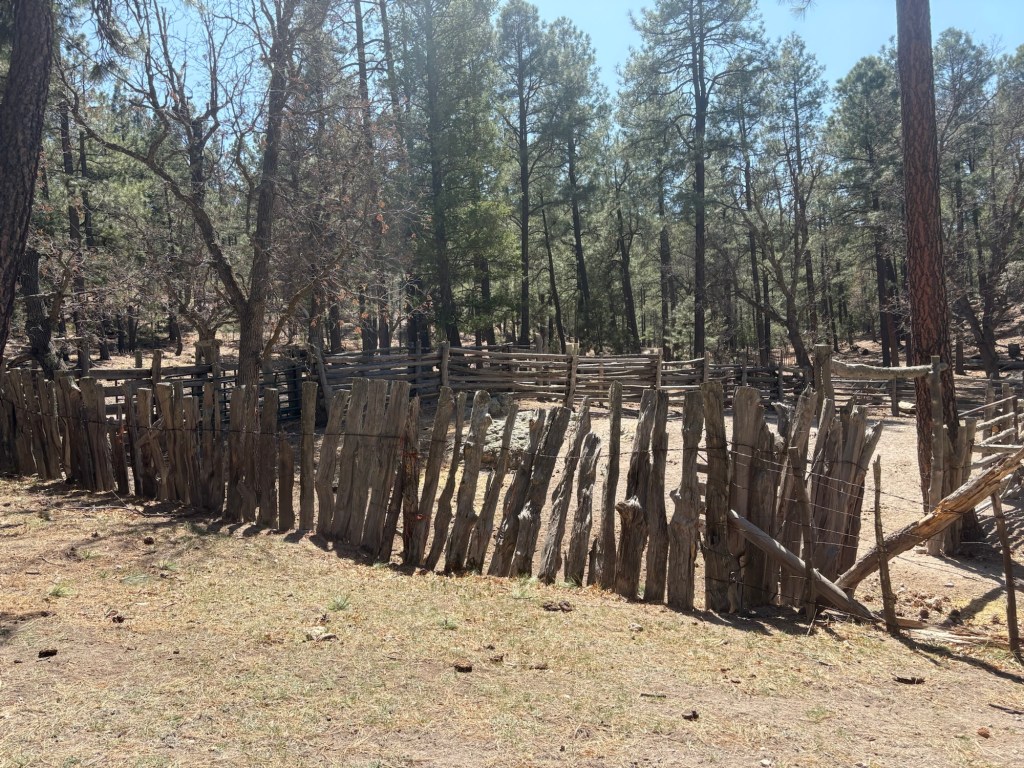
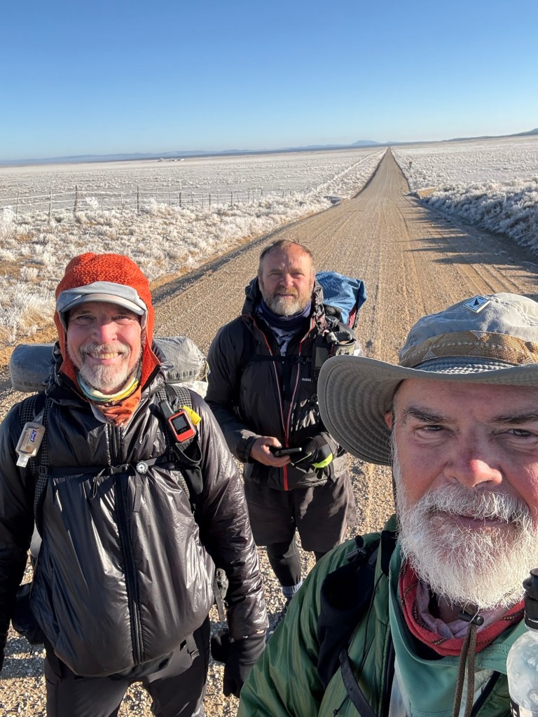
The trail was relatively flat, and we made great time for the first few miles. Then the trail followed a wash for several mile and the loose rocks and gravel made for tougher going. It was still not bad, just not as easy as hard packed trail. Around 3:00 we arrived at the first water cache, about 14 miles from the start. After drinking a bunch of water and filling up our bottles and a short snack break we decided to push on at 4:00. It was pretty easy going for the 4 or 5 miles to this camp. We were a bit tired, and didn’t see much protection from the wind, so we stopped here. After a short time, Spokes (another hiker from our shuttle) rolled up and joined us. The wind blew fine dust into our tents, even through the mosquito netting, and the dust covered everything. But the wind seems to be decreasing as I write this, so hopefully we’ll have a quiet night.
March 30, Day 2
27 miles
It was a very windy campsite last night and we got sandblasted. Not much protection from the wind around here. The wind died down overnight but we still had to try to sweep the fine sand and dust out of the tents before packing up.
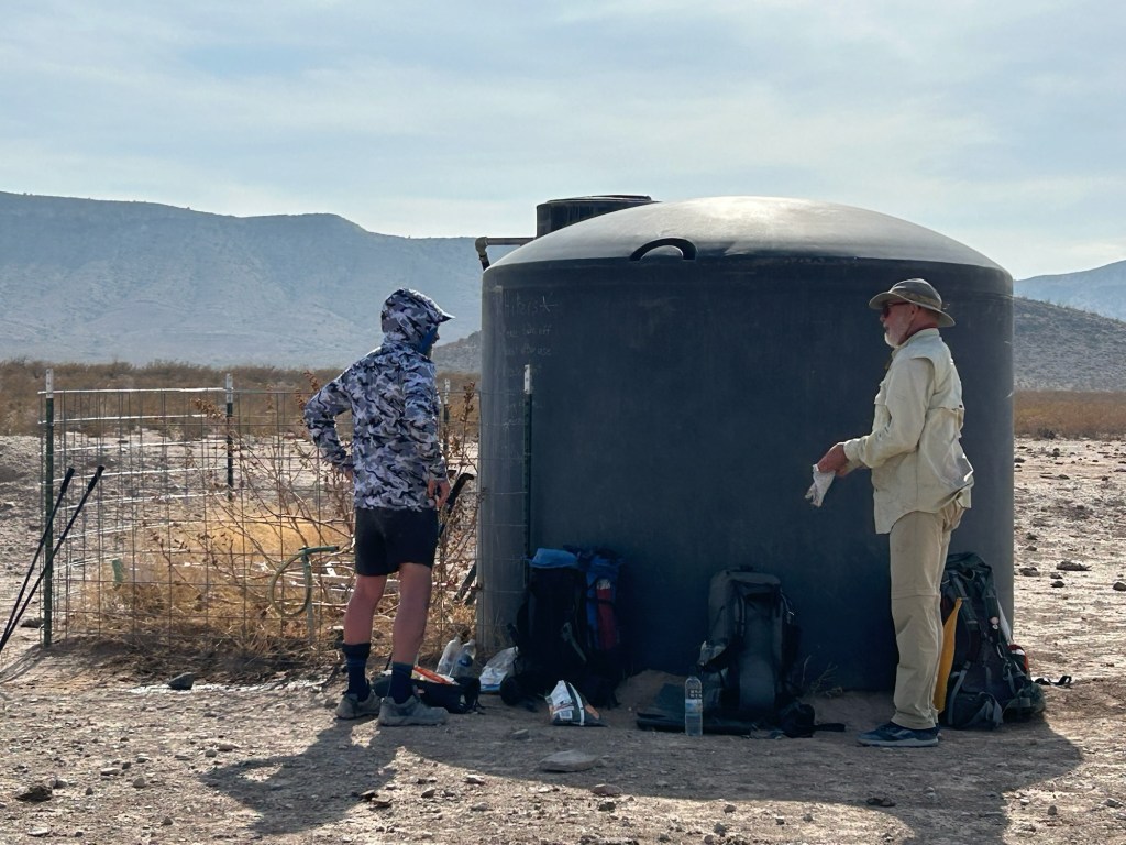
Just as we were starting to stir, Mama Troll came by, hiking in the dark with his headlamp. Spokes, One-K, and I were hiking by 6:45. It was a pleasant morning and the miles came fairly easy. The next water. cache was 7 miles ahead, and by the time we got there Mama Troll had been and gone. There were a couple of border patrol pickups nearby, but they left us alone. From there, the next water cache would be 20 miles away, but a rancher had a water tank fed by a well about 13 miles ahead. So we planned to stop there. Spokes was ahead of us most of the way, but we did chat and walk together briefly a couple of times. Eventually we caught and passed Mama Troll. The trail alternated among road walking, hiking through washes, and regular trail. Lots of ups and downs, but still relatively easy elevation gain and loss.
At the rancher’s water tank, we took about an hour break and had a little lunch. Mama Troll walked up about 20 minutes after we arrived. We sat in the shade of the tank and chatted a bit. Spokes had arrived before us and he left 30 minutes before One-K and I left. When we left, Mama Troll (henceforth known in these pages as MT) was still there filtering water. He planned to push on another mile or two. From the tank, it was again another 7 miles to the next cache.
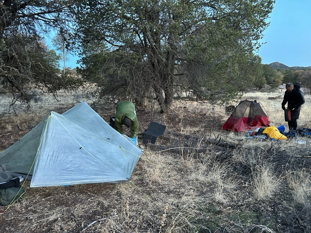
We hoped to find a spot 2 or 4 miles up the trail, but the wind was strong and we saw no suitable sites. So we ended up pushing on to the cache, where we found Spokes already set up in his tent. We found spots for our tents, somewhat protected from the wind and pitched our homes for the night. The wind steadily decreased and it looks like a more comfortable night than last night. One-K cooked dinner – instant mashed potatoes with cut up chunks of a teriyaki meat stick. Delicious after 27 miles.
March 31, Day 3
23 miles
We were up at 5:30, and rolled out of camp at about 6:45. It was about 13 miles to the next cache. In about 4.5 miles we came upon a tire tank (tractor tire filled with water) and a fiberglass water storage tank. Inside a fenced area was tree starting to bloom – we thought it might be an apple tree or a crabapple tree. Nice spot, but we had enough water, so we pushed on.
After 9.5 miles we came to the next water cache and took a short lunch break in the meager shade from the steel cache box.
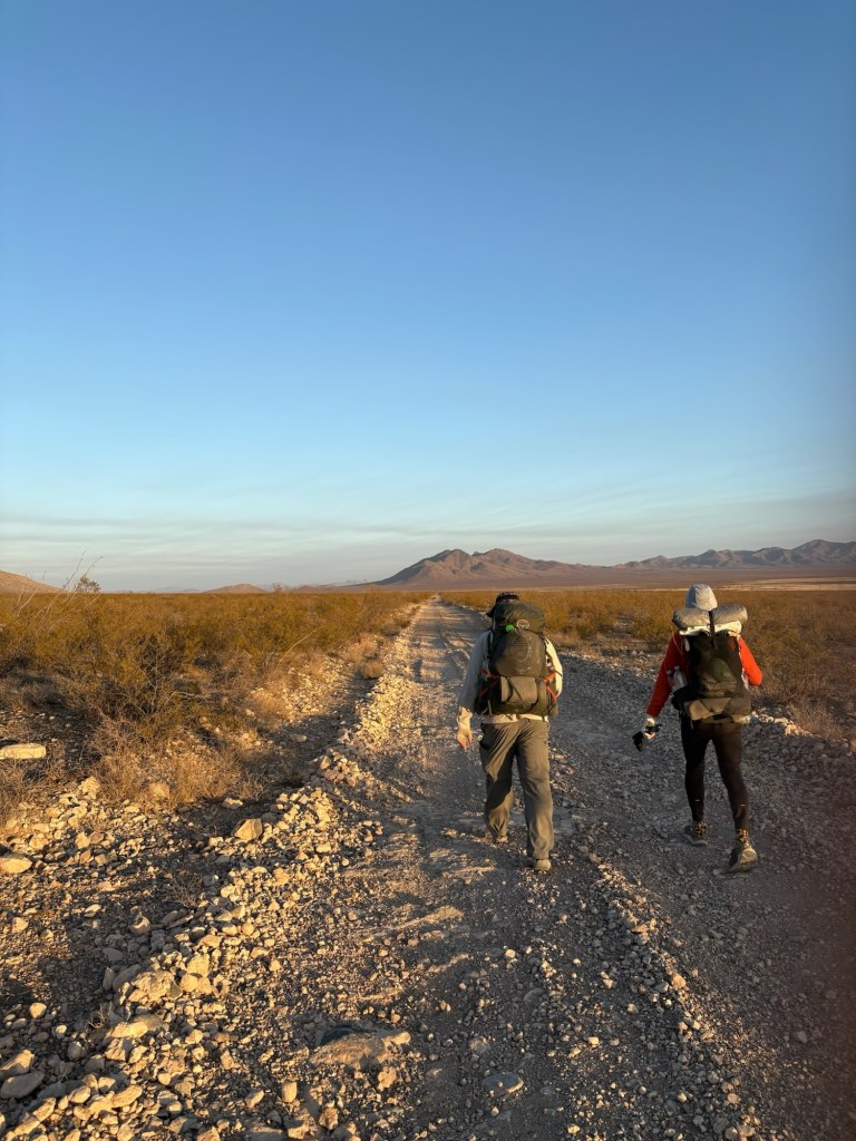
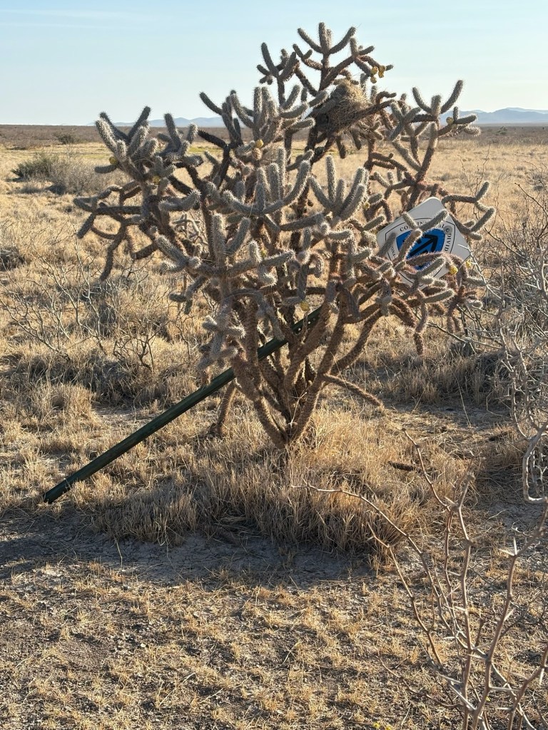
The trail has been exceptionally well-blazed, with trail signs usually at least visible from one sign to the next. Yesterday we saw 7 blazes at one time. But today was different. We crossed a very large flat and desolate area, with trail signs widely spaced. That resulted in more checks on the navigation app to insure we weren’t too far off track. The wind picked up after noon and continued until after we’d camped for the evening. We picked up some more water from a tire tank and pushed on another mile to camp in a narrow low wash to get some protection from the wind. Temps were in the 80’s today, but the wind helped make it more comfortable.

April 1, Day 4
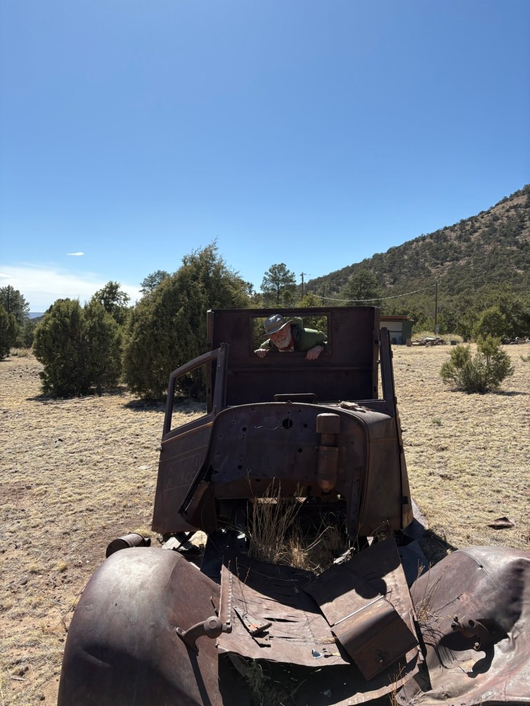
17 miles
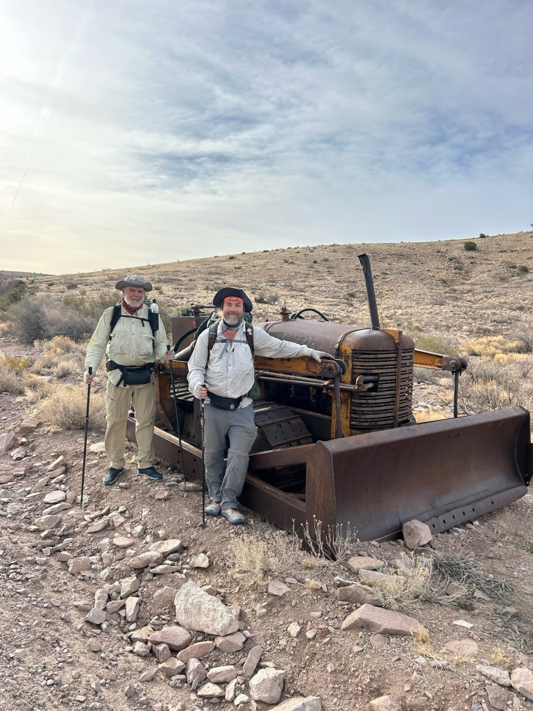
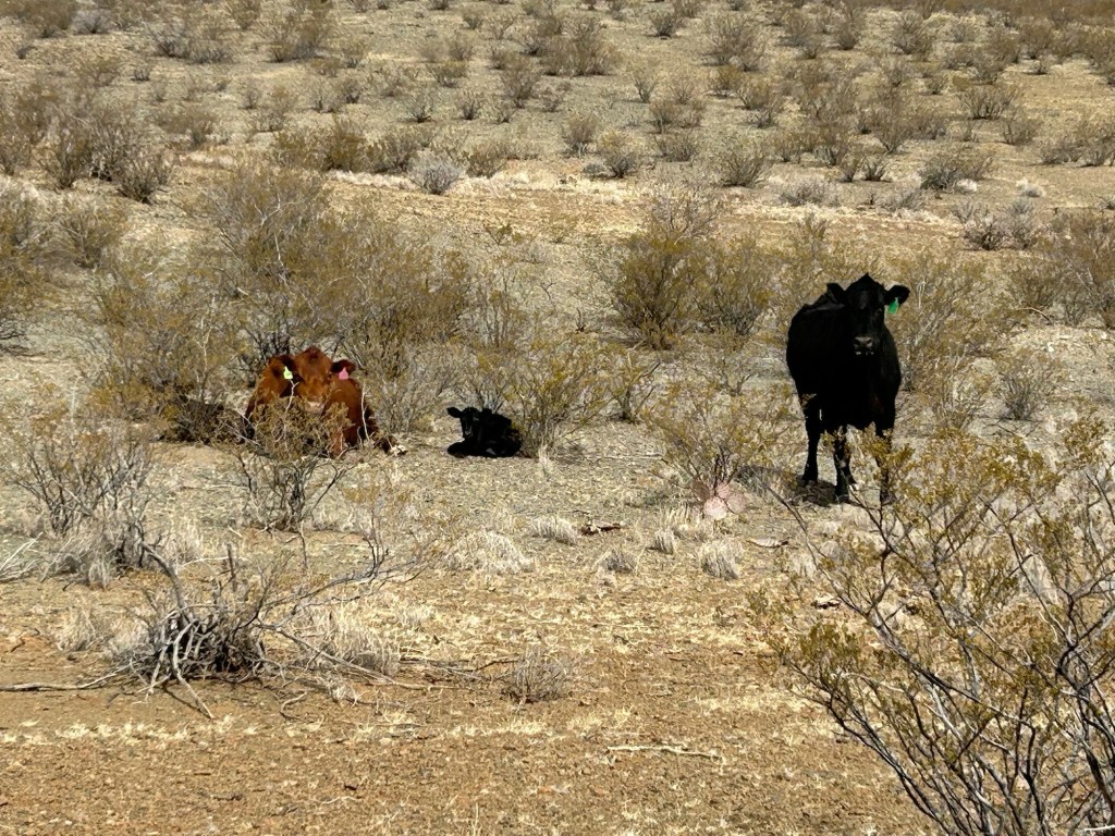
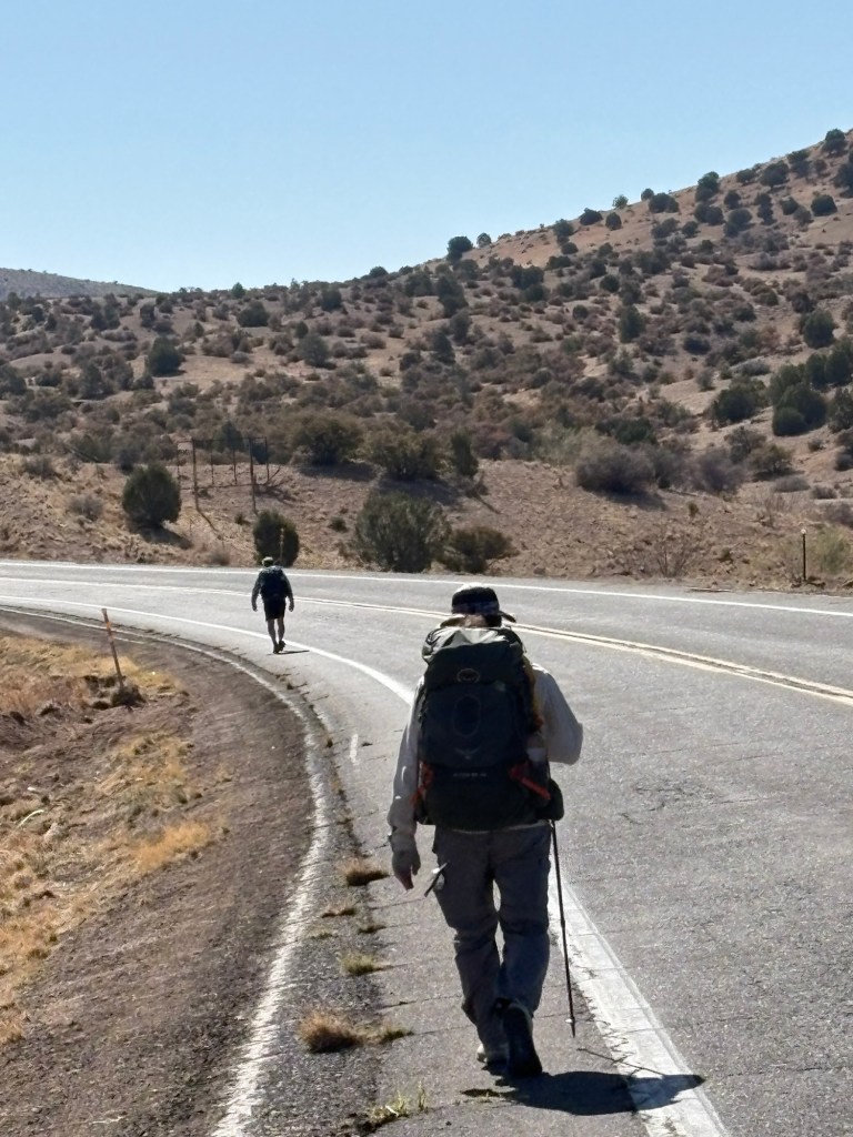
We all woke up independently at 5:15, before our alarms. After coffee and breakfast we packed up and were hiking before 6:30. For the first 20-30 minutes we hiked with our headlamps on. The sunrise was beautiful over the barren area we had just traversed. Leaving the flat area the trail passed into hilly country and eventually began following a road for several miles. Along the road we came upon an ancient and defunct Allis-Chalmers dozer. Soon after that, the trail left the road, passed through a fence gate, and went cross-country. We followed a fence line for several miles before arriving at the final water cache. We didn’t need much water, since town was only 7 miles away. We soon crossed a highway and went through a hilly area. At one point we came upon two cows with calves. One of the cows adopted what looked like a defensive posture, so we gave her a wide berth. Motherhood is tough enough without dealing with 3 grungy hikers. The wind was increasing as we walked and forecast to get very strong later in the day – 30 gusting to 50. We were worried a dust storm might develop and shut down the interstate, which would fill the hotels in town. So we tried calling the local number for the hotel, but got shunted to the national reservations line. They totally screwed up our reservation but we got it sorted out once we arrived at the hotel.

April 2, Day 5
0 Miles
We got to Lordsburg yesterday just as the wind was beginning to gust above 40mph and decided to wait until breakfast to decide whether to leave today. A couple of our loose group from the shuttle ride needed a day in town, and the forecast was for continued high winds, so the other three of us decided to wait until tomorrow. It’s nice hiking with a compatible group. So, today was spent resting, grocery shopping, and eating. We’ll be back on the trail tomorrow.
April 3, Day 6
23 miles
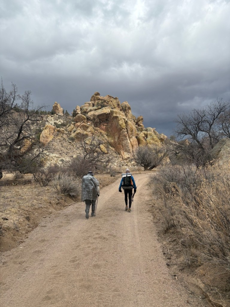
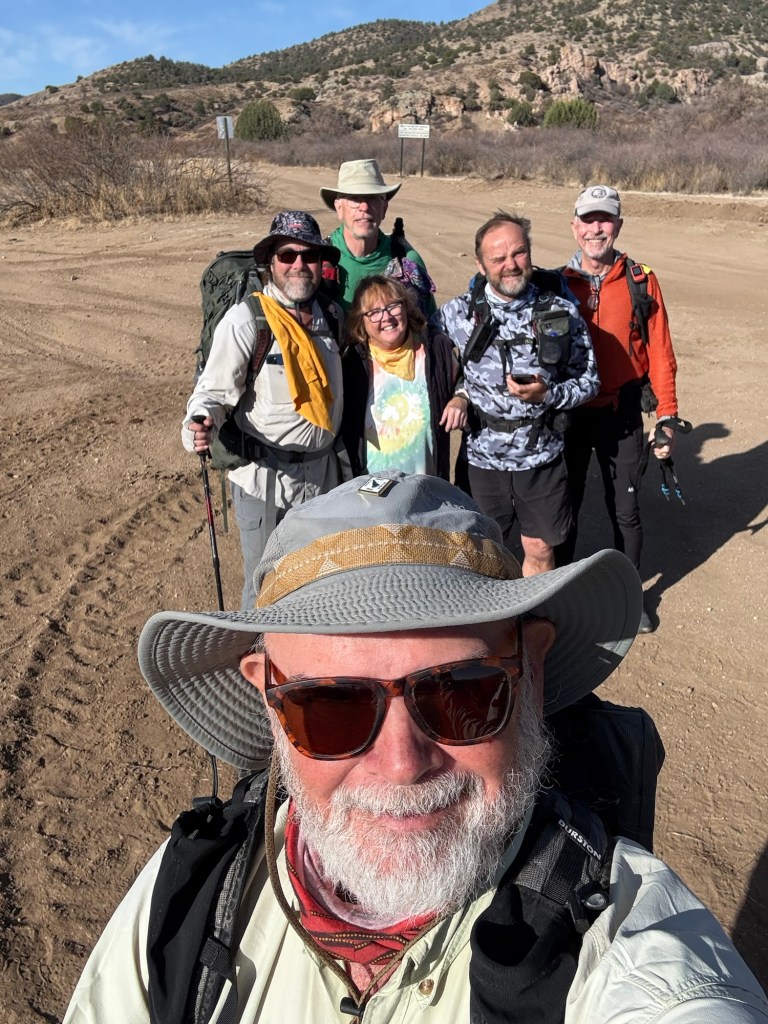
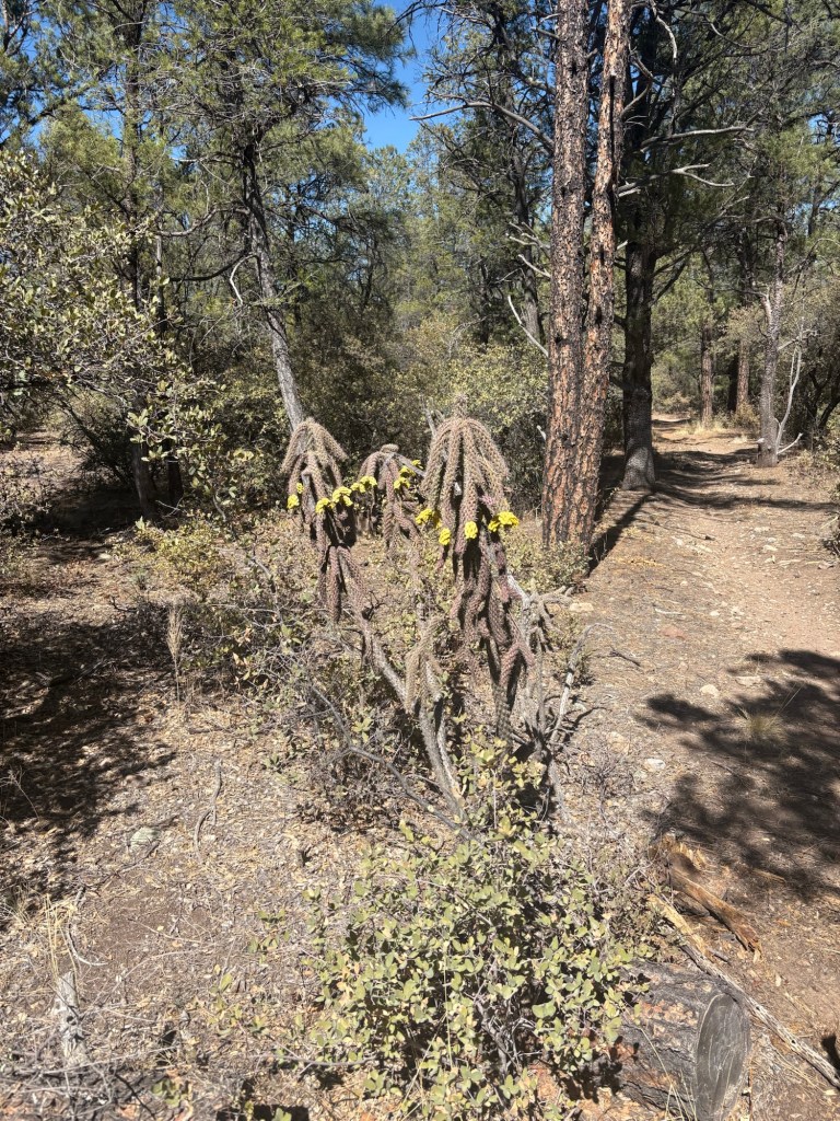
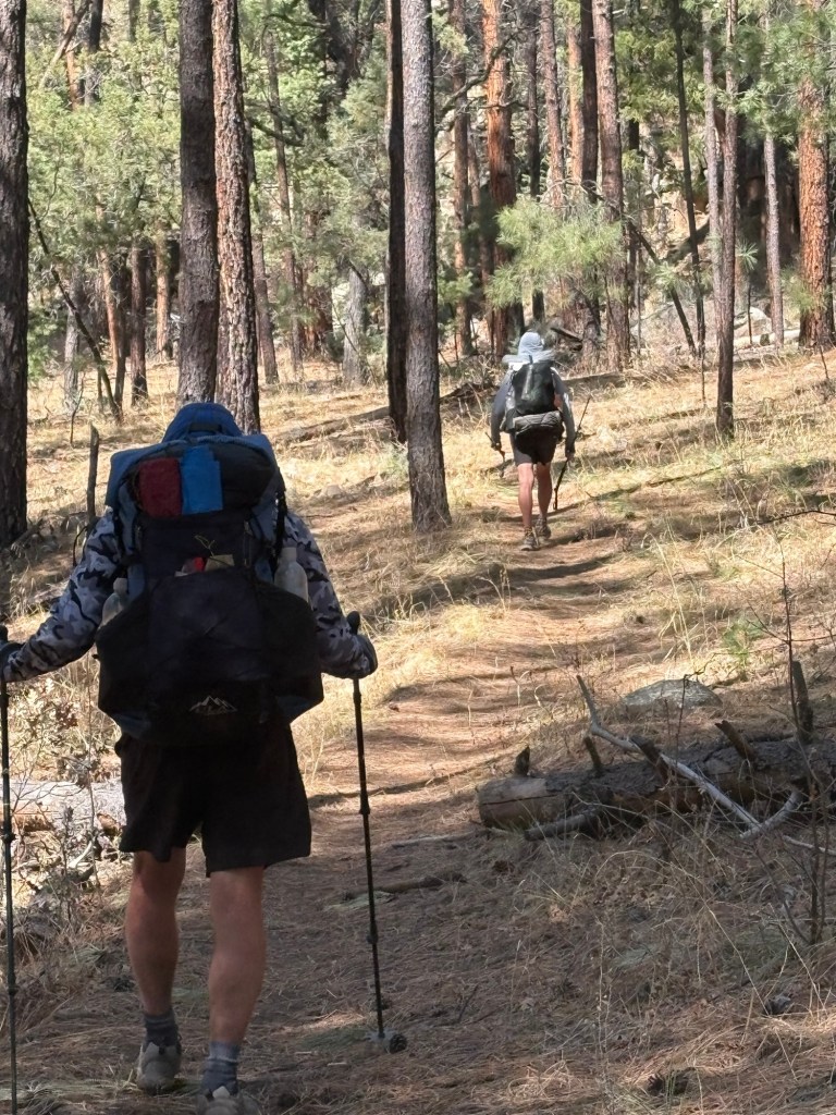
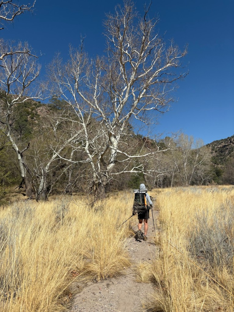
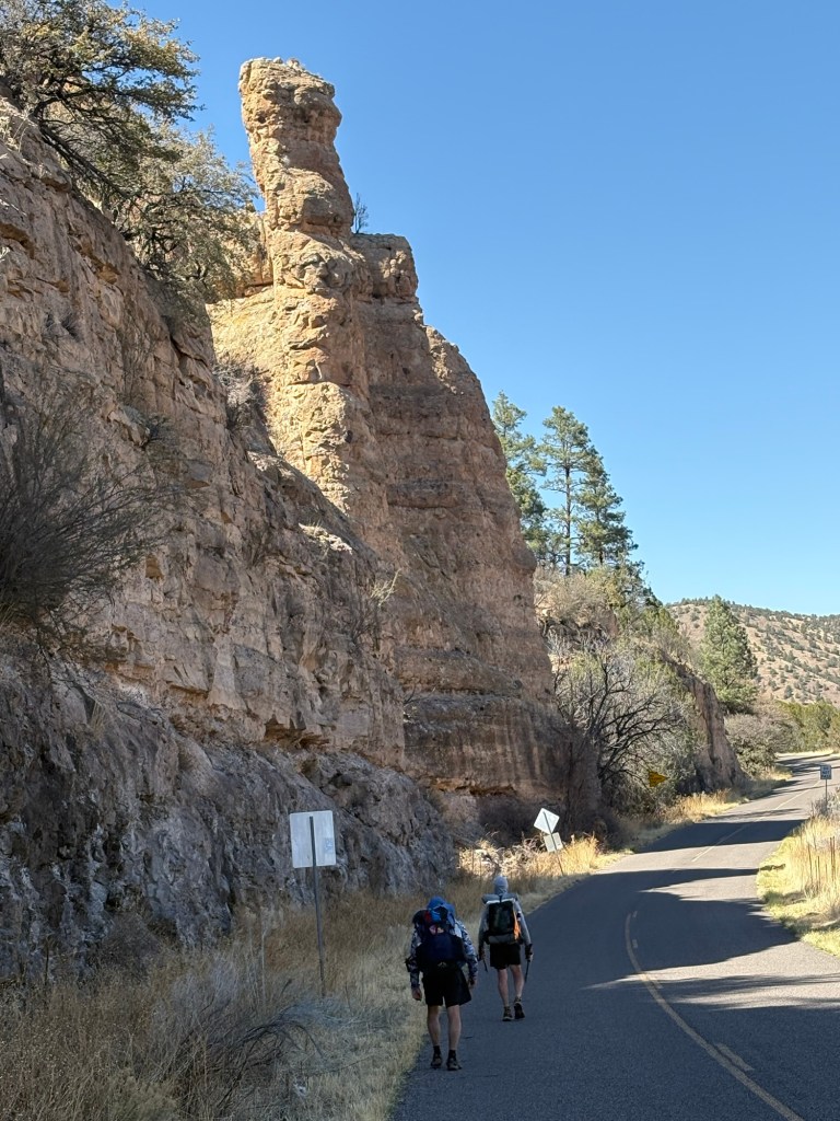
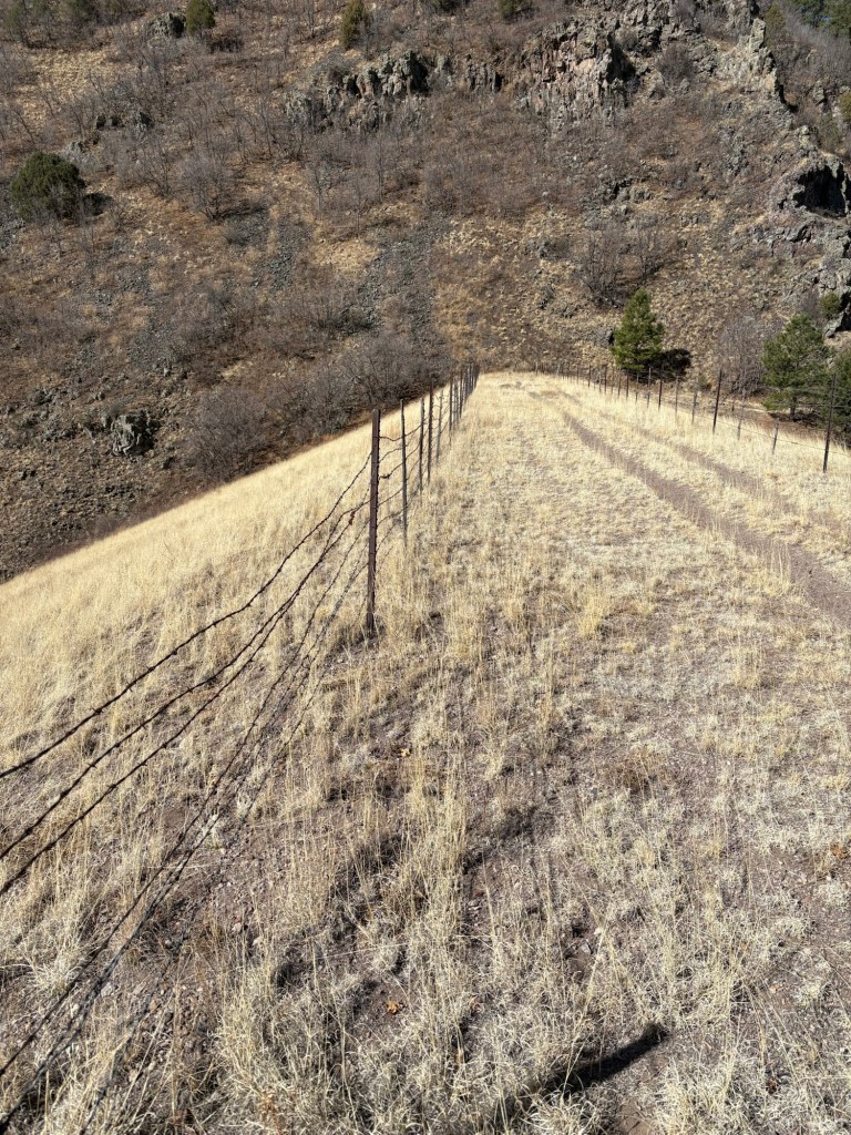
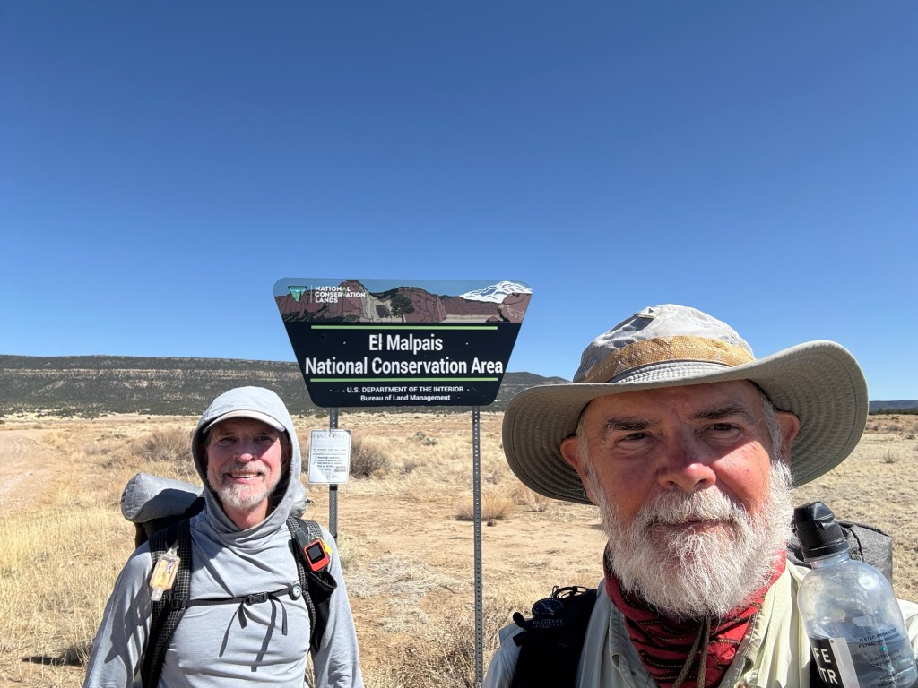
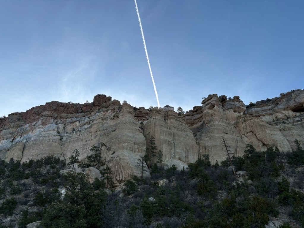
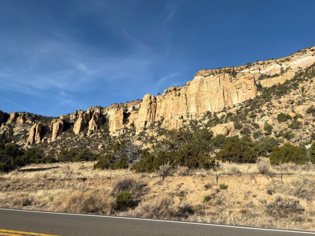
The five of us (Spokes, Bard, One-K, MT, and I) met in the lobby at 6:00 and went to the gas station next door for coffee to go. We were walking on our way out of town by 6:15. The first five miles or so were road walking. Then the trail cut across a wide and barren flat area which was fenced for cattle. We passed through a fence into an area with more vegetation. The trail signs were widely spaced and we lost the trail for a bit, but recovered with a road walk on a ranch road which eventually led us back to the trail. Then it was a long, relatively gentle, climb. As we gained elevation the vegetation gradually changed to live oaks and shrubby evergreens, mixed with cacti and other prickly plants. It was a nice change from the more desert-like areas south of Lordsburg.
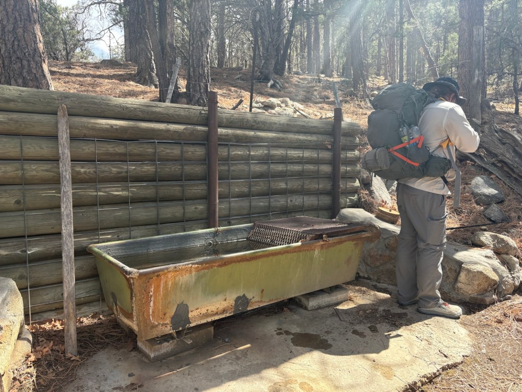
We took our first real break of the day at Engineers Windmill and water tank. The day had been cool and we didn’t need much water. We took our lunch break among some mistletoe trees to shelter from the cool breeze, then pushed on. It was a steady climb as we passed into the Gila National Forest and we saw our first truly engineered trail of the hike. We also saw our first CDT trail blazes nailed to trees. Eventually we arrived at a water cache just a bit south of NM Highway 90, at almost 6100 feet of elevation. We decided to camp here, as there are numerous flat spots among the trees and bushes. The temperature is supposed to get down into the 20’s tonight and my water filter is in the foot box of my quilt, to keep it from freezing.


April 4, Day 7
22 miles
Up at 5:30, hiking at about 6:30. We left Spokes in camp, tending to a blister, etc., but he caught up later. The first 8 miles were a gentle rise to a water cache. This cache was the best yet – several brands of soda, extras like toilet paper and basic medical supplies, and of course- water. We broke for an early lunch before tackling the climb ahead. This was the biggest climb so far – 1800 feet in 4.5 miles, topping 8000 feet in elevation. We definitely felt it. Once over the top and down the other side a bit, we stopped for a second lunch. Then it was an occasionally steep downhill for a few miles before the trail more or less leveled. A mile and a half into the descent, we stopped at Mud Spring for a liter or two of water. It was a nice tank with clear water, mounted into the slope with concrete. I give it 5 stars out of 5. After that, it was four miles to this cache at Red Rock Road. Pretty easy going except for one short but steep climb.

April 5, Day 8
16 miles
We slept in until 6:00 this morning and were hiking by 7:00. We had about 16 miles to go before the trail would become a road walk alongside a paved road, and 12 miles into Silver City. The weather forecast was not pleasant, and we’d need to camp before the road walk, since there are no places to camp along the highway. It would be a short day, since we weren’t into a 28-mile day. So One-K had contacted Susie, a local trail angel, and arranged for her to pick us up and house and feed us for the night. Much better than camping in snow and rain and temperatures in the 20s.
The trail began with a few miles of short but steep ups and downs before eventually leveling off a bit, and beginning a long gradual descent. While still up high, it began to hail, and that continued for at least a couple of hours. We pulled on rain gear and soldiered on. The hail stones were pretty small and melted on us quickly, which would have made for damp clothes otherwise. Eventually, after about 9 or 10 miles, we descended into Saddle Rock Canyon and followed it down to a gate where trail angel Susie arrived. One-K, Spokes, and I were there when she drove up, and Bard and MT strolled up a few minutes later. All five of us and our packs piled in, and off we went. After a brief stop at Walmart, we went to Susie’s house, where she fed us chili and salad and promised French toast in the morning. Then she’ll take us back to the trail in the morning. We plan to leave most of our gear at the hotel we booked for tomorrow and slack pack the road walk into town.


April 6, Day 9
14 miles
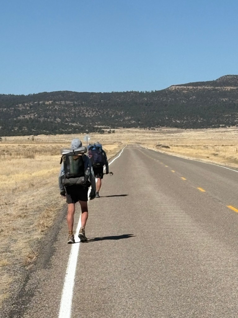
Susie made us French toast and bacon this morning before we all piled into the RAV4 and headed for the Palace Hotel to drop off much of our gear. We had previously booked rooms at the hotel and we intended to slack pack to town from the place where Susie had picked us up. After we dropped our stuff off at the hotel, she dropped us off at the pickup point at about 9:00 and we were hiking shortly thereafter. It was a road walk and not very interesting but the territorial views were nice. After about 8.5 miles we went down into a wash alongside the road and had leftover pizza for a bit of lunch and a short break. Then it was back to the road and the joy of pavement hiking. We got to the hotel about 2:00 and got checked in. Later Spokes, One-K, and I walked to the grocery store to resupply. I didn’t need much to get me to the next stop, but Spokes needs to send a box ahead to Pie Town. I have a box at home ready to go, and Jackie will send it for me. One-K is leaving the trail tomorrow to go back to work, so he was just hanging out with us for our pleasant company.

April 7, Day 10
19 miles
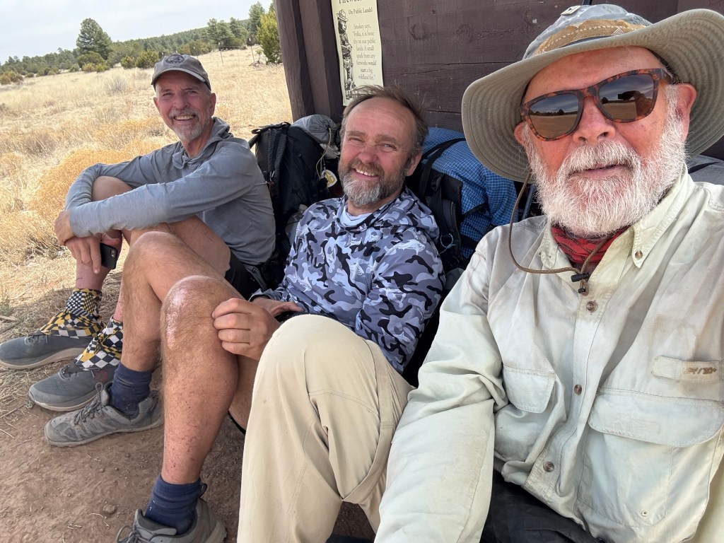
Today our group was reduced by two members. We had a light breakfast at the hotel at around 7:00. At 8:15 trail angel Susie arrived to take One-K to Lordsburg to catch a bus. He’s heading home and then back to work. Spokes mailed a resupply package to Pie Town when the post office opened at 8:30 and we stopped at the local outdoors shops before heading out of town. After several blocks Bard tapped out. He’s been fighting a cold and needed another day in town. So Spokes, MT, and I continued. There are several routes from town to the Gila River Alternate, and we took the longest one.
The walk out of town was steadily climbing road walk and not very interesting. The paved road eventually became a gravel road and continued for several miles. At the point where the trail diverged from the road there was a water cache with several gallons of water and a couple dozen sodas. We stopped there for a short lunch break before continuing on to the next cache 1.5 miles farther on. We each gulped half a liter from that cache, and should have taken more.
The trail tended upward, with varying degrees of difficulty and began to follow Bear Creek. No bears, and no creek. We began looking for pools from which to dip water at the points mentioned in our navigation app. We weren’t having any luck until Spokes spotted a couple of pools nowhere near the position stated in the app. We grabbed some water and made camp nearby. 19 miles despite the late start.

April 8, Day 11
18 miles
We had all slept with our water filters to prevent them from freezing last night, and it paid off. The temperature dipped into the high twenties overnight, cold enough to freeze and ruin a water filter.
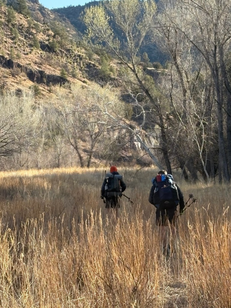
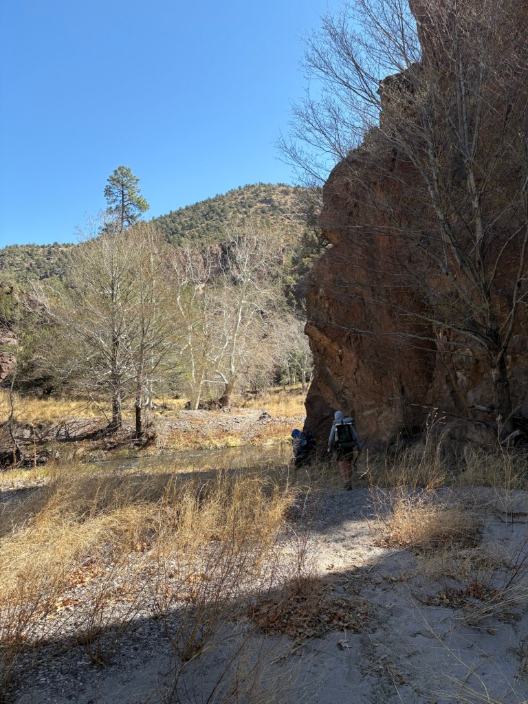
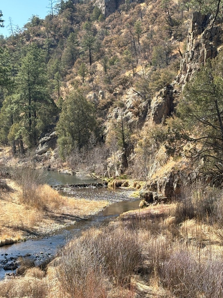
We were hiking by about 6:30. The trail followed the mostly dry creek bed until turning away from the creek and heading north up Sycamore Canyon. The trail was rough and brushy, and pretty steep in places. Progress was slow, but we eventually topped out at a saddle where we stopped for lunch. By that time I was more than sick of Sycamore Canyon. From the saddle, the trail descended in ups and downs for about 8 miles to Sapillo Creek. It was rough and steep in places, often making for tricky footing. We crossed Sapillo Creek and found a nice camp site just upstream from the confluence with the Gila River.
April 9, Day 12
18 miles
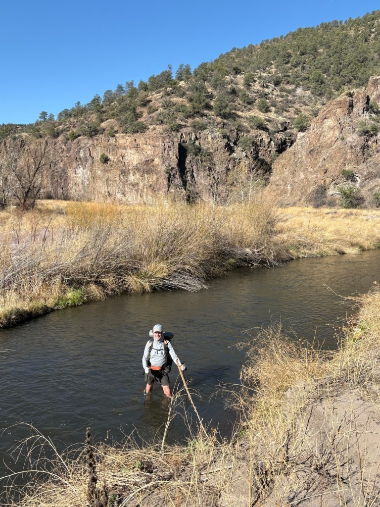
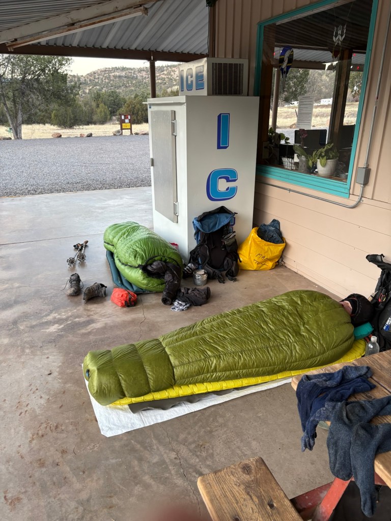
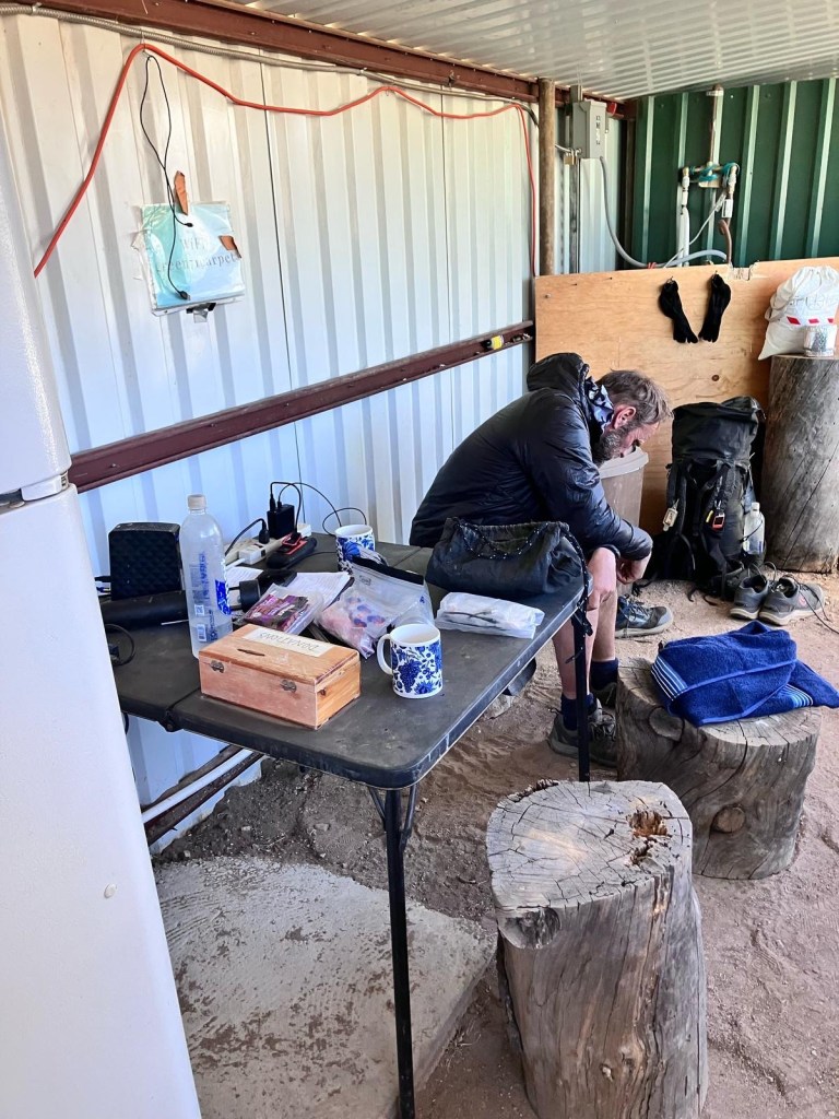
Anticipating the many river crossings ahead of us, we slept in until 6:00 to ensure good daylight. Shortly after starting to hike, we found ourselves doing a rock scramble up a short steep rock face, and I worried a bit about what the rest of the day had in store for us. But that was the only scramble of the day. The first few miles were kind of “choose your own adventure” and what trail there there was hard to follow. But eventually the trail was marked with rock cairns and was a beaten footpath, making it easy to follow. We startled a javelina early in the morning, which wanted nothing to do with us. We also came upon a group of wild turkeys. We spotted a few ducks, some raptors (peregrine falcon, I think) and a huge trout in the river. Between the river crossings the path was mostly level, but each crossing involved a short steep descent to the river, and a short steep climb out of the river. By my count, we forded the Gila River exactly 50 times today. About 1.3 miles from Doc Campbell’s Post the trail merged with a paved road and we road walked to the store. It was closed, but we called the number on the door and they came over to open up for us, so we could buy our resupply for the next leg. They also sold us showers and baked a frozen pizza for each of us. They offered to give us a ride to the campground down the road, but later offered to let us camp on the store property (which is normally not allowed). Then they brought out a cooler full of ice water and said good night. Pure kindness. So we have a picnic table, flush toilets, and internet! Hiker heaven.


April 10, Day 13
After a nice night cowboy camping on the back patio at Doc Campbell’s, we woke up about 7:00. The owners had coffee ready at 8:00, and we had a bit of breakfast. My water filter had escaped the foot box of my sleeping quilt during the 30 degree night, and I could not be sure it hadn’t frozen. So I bought another one. Better safe than sorry, especially with some of the cow tank water we’ll be drawing from pretty soon. We started hiking after 9:00.
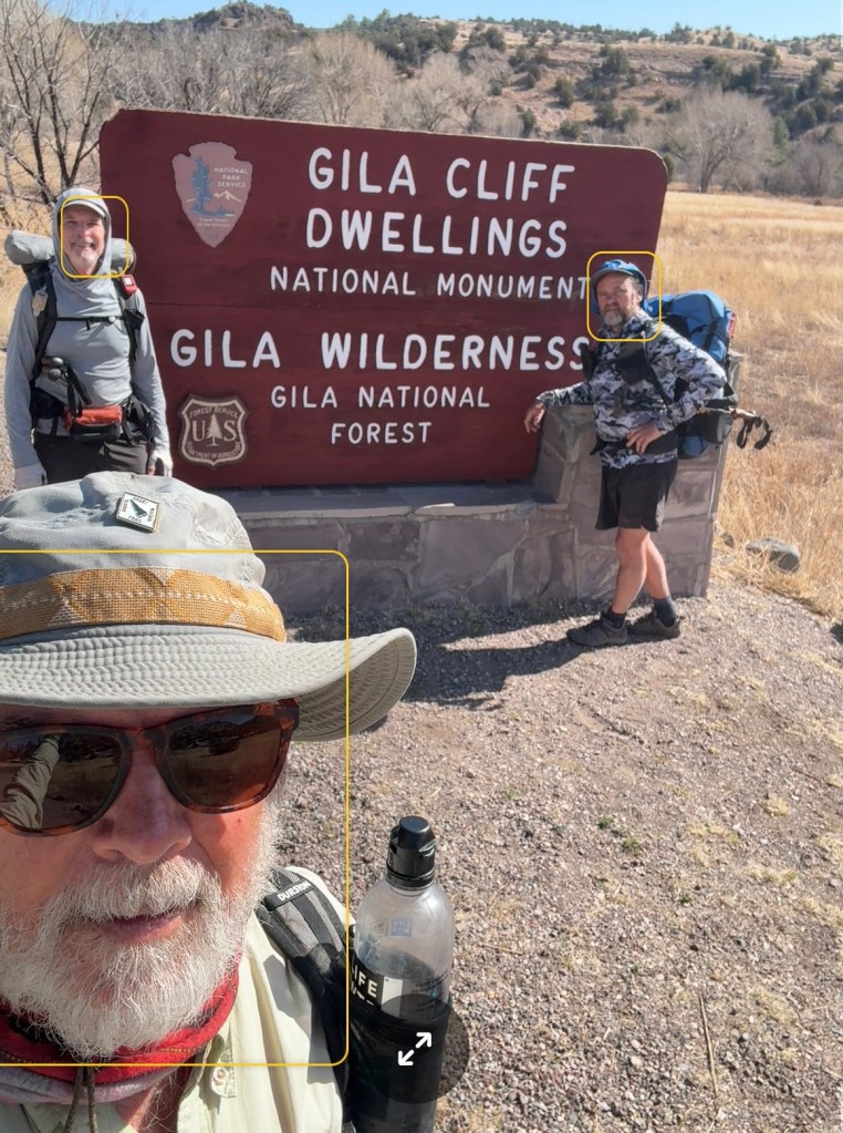
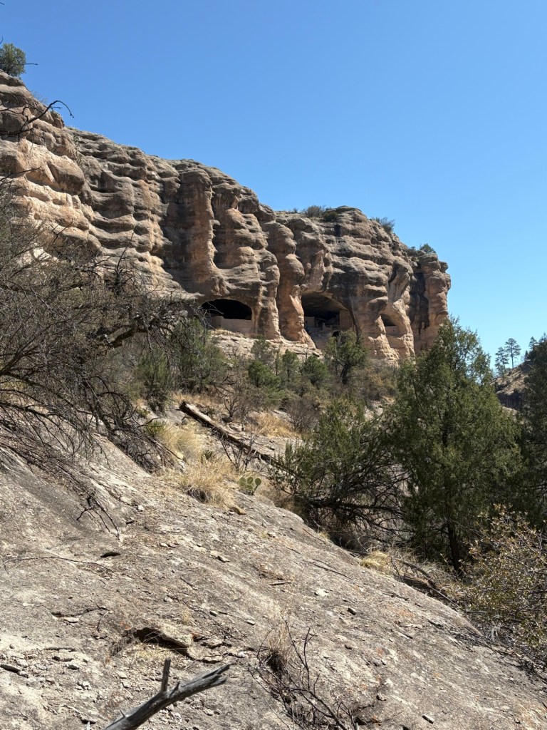
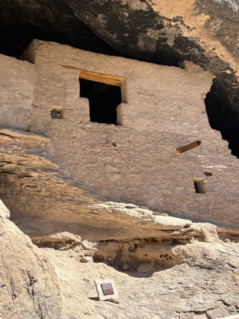
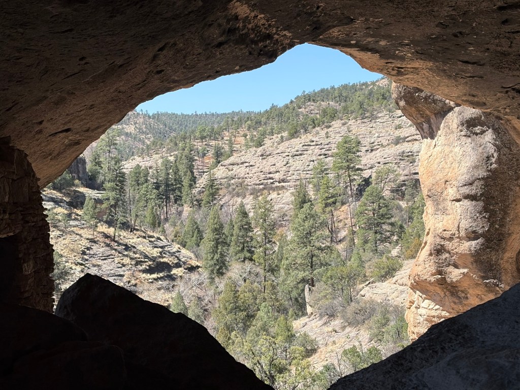
We started with a road walk to the Gila Cliff Dwellings and took a tour. It was very interesting and informative. After the tour, we had a lunch break before walking back to the trail. It had been a 3 mile detour – well worth the diversion.
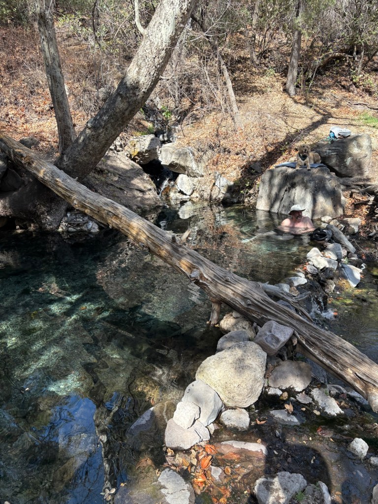
Once on the trail, it was a steady climb up to the junction with Bear Canyon Trail. We encountered several day hikers on the way. Once we crested the ridge and began our descent through Bear Canyon, the views became more and more spectacular. It was a steep-sided canyon with a small stream running into the Gila. We took another short break at the confluence, and then soldiered on 2.8 miles to Jordan Hot Springs. The views continued to be incredible, and we forded the river 18 times today.
There was one guy in the hot springs pool when we arrived but he was happy to share. We went in with our clothes on, since we were so sweaty. After a half hour soak we packed up and came across the river to this site.
We saw one javelina, 8 mule deer, several raptors, and lots of trout in the river. The trout didn’t seem very skittish, either. 15 total miles today, 12 on trail.
April 11, Day 14
19 miles
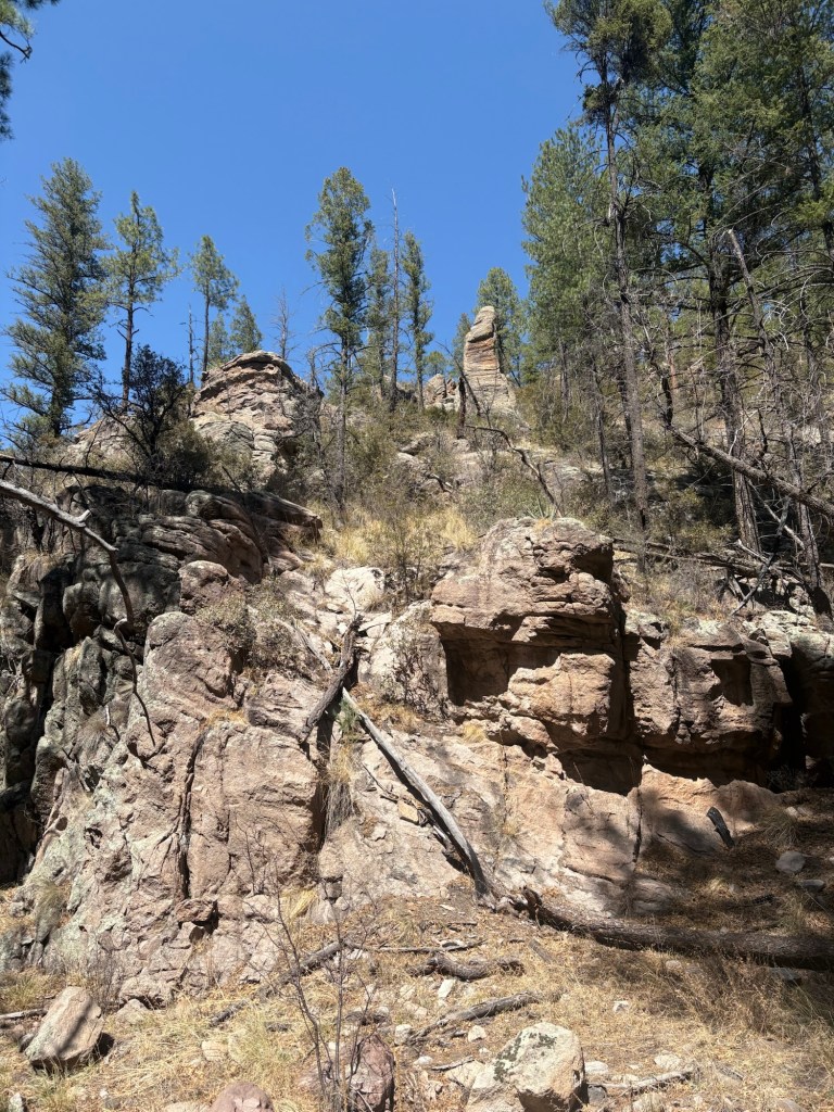
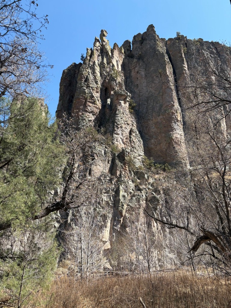
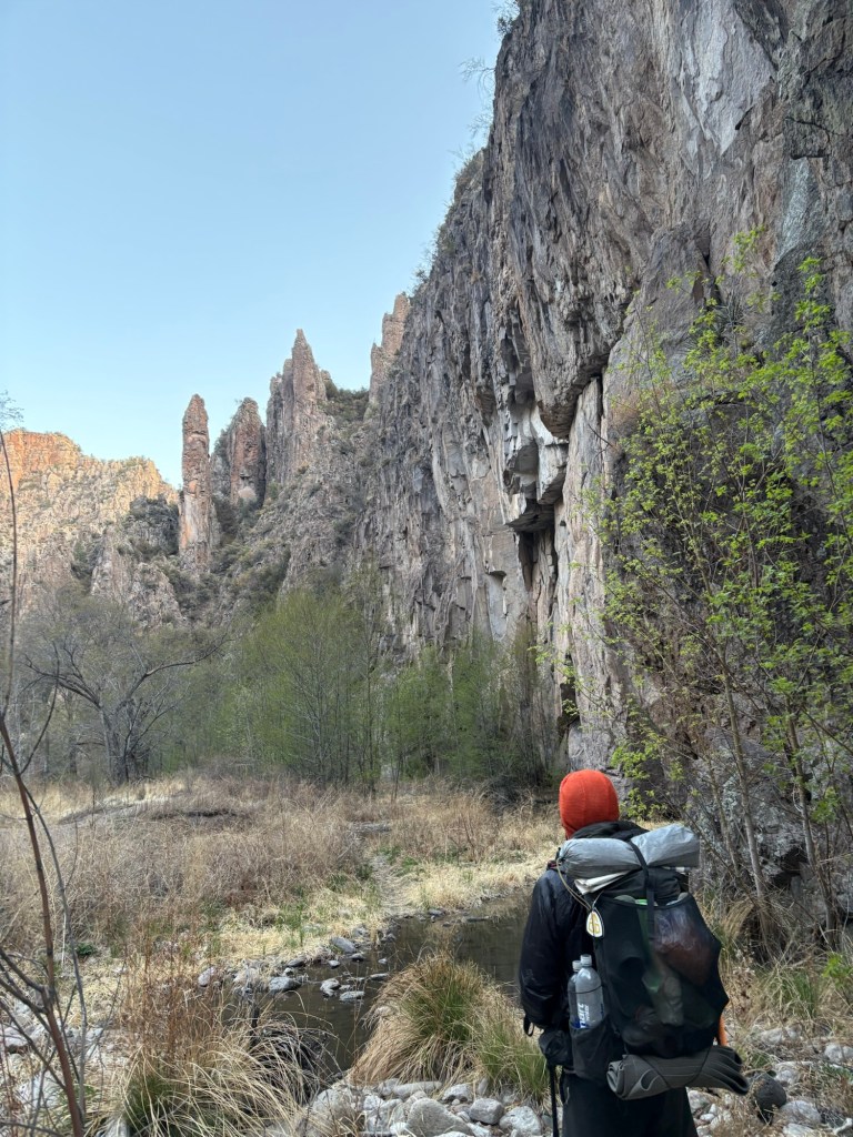
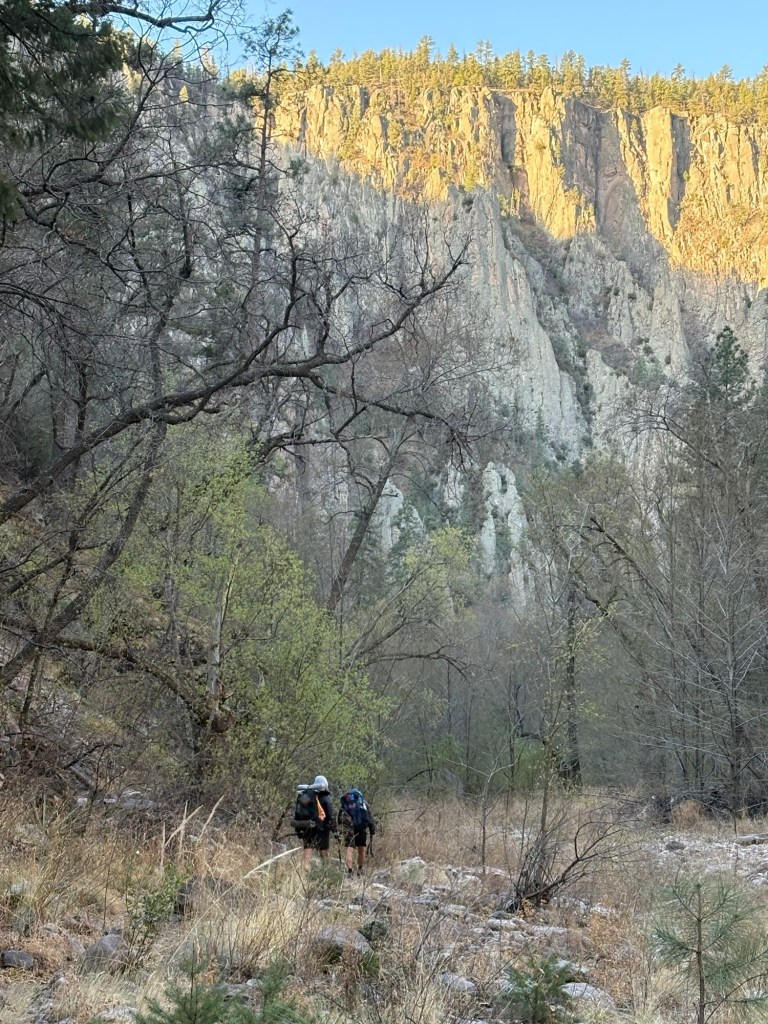
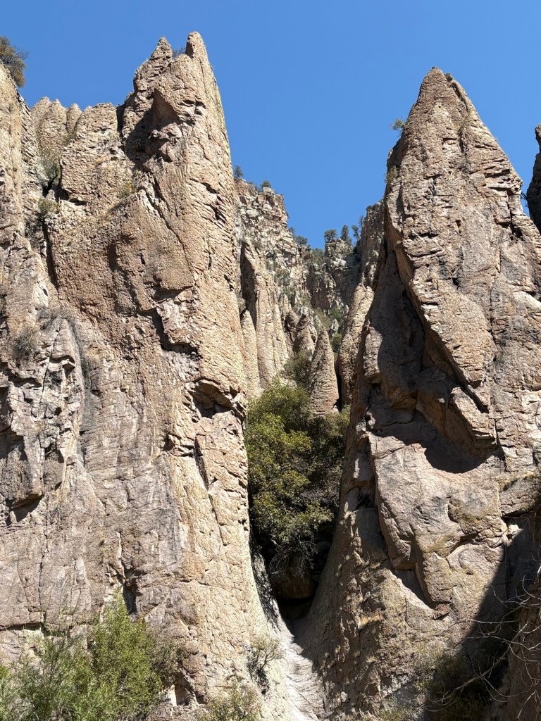
Up at 5:30, hiking about 6:30. The first river crossing was very chilly. But as the day warmed up, the crossings did, too – especially in the vicinity of a hot spring. The views were fantastic all day. It’s a slot canyon with very steep and high sides, with lots of hoodoos. We didn’t score well with wildlife sightings, but we did startle some grouse, and we got a good look at a red tailed hawk.
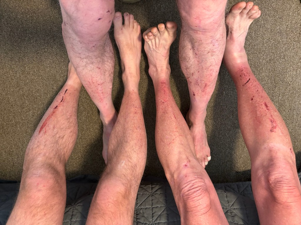
Route finding was a challenge for much of the day. It’s much faster to travel on a valid trail, but it wasn’t always easy to stay on trail, and the tremendous amount of beaver activity also complicated things. We crossed the river 132 times today. Previously, the deepest crossings were mid-thigh, but today a few were waist-high. That many crossings took a lot of energy, and we were ready to stop when we reached a junction with the Gila River High Route. 19 miles for the day.
April 12, Day 15
26.2 miles
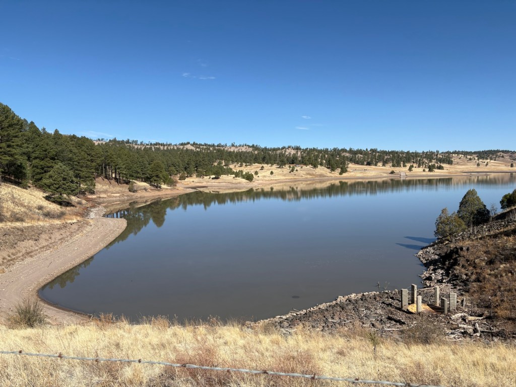
The temperature dropped to 24 degrees overnight. Our shoes, still wet from yesterday’s endeavors, had frozen stiff. We had to fight to get them on. Almost all of the crossings were accomplished by rock-hopping, and the shoes thawed and dried out eventually. 22 river crossings for the day.
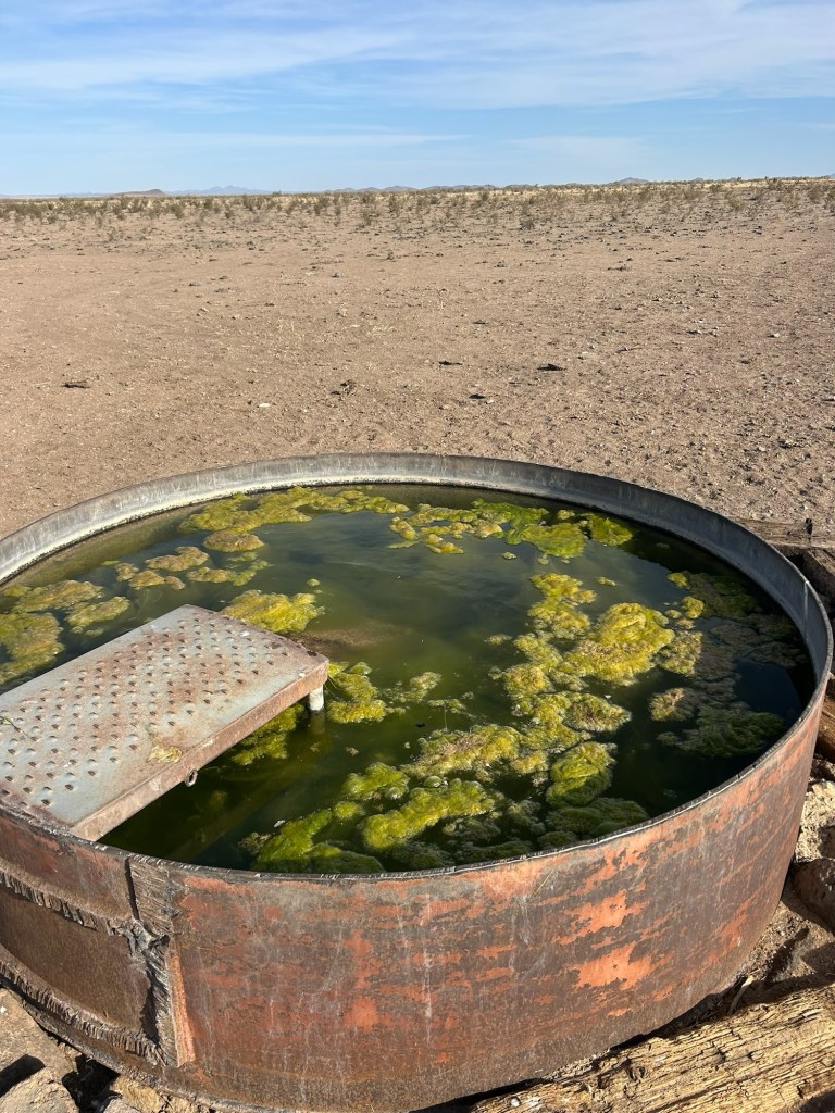
We started out shortly after 6:30, and by about 10:30 we had covered the 7.5 miles to the campground at Snow Lake. After a short break we carried on, eventually arriving at a pond intended for watering cows. We had lunch, filtered some water, and climbed out of the Gila drainage. That began a 13 mile road walk that landed us at this solar well and tanks. Also intended for watering cows. We kicked the dry cow pies out the way, pitched our tents, filtered water, and cooked supper. 26.2 miles. Another marathon.
April 13, Day 16
18 miles
We slept undisturbed by the cows, and slept in until 6:00 because of the big miles yesterday. MT left camp a bit before Spokes and I did, and led the way most of the morning. It was a long road walk with a steady uphill grade. We started at about 7400 feet of elevation and topped out at just over 9100 on the trail later in the day.
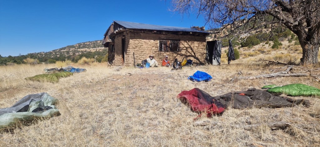
After a couple of miles the road walk entered a ponderosa pine forest and despite the steady climb it was beautiful. We stopped for second breakfast at a spring with a cistern, and filtered water while we ate. Then we began hiking uphill again. Eventually we turned off of that road onto another, and at a certain point the trail left the road and we were again hiking on a hiking path. Soon after, we topped out at 9121 feet and began a steep descent through a burned area from several years ago. The bushes were tenacious and the trail tread was not the best. There were also numerous blown down trees. After a bit we hit the trail junction with the Govina Canyon Alternate and followed that trail to a spring and cow pond. We filtered some water and pitched camp. As we were finishing supper another hiker named Data came by. We pointed him to the cistern and he went to get water. While he was there a National Forest Service enforcement officer drove up. We had a nice friendly chat with him and he went on his way. Data also took off, hoping to get a few more miles in. I think there are turkey hunters in the area (we saw three people without hiking gear) and a group of cows came by to check us out. Busy place.
April 14, Day 17
13.7 miles
We woke up at 5:30, hoping for a 6:30 start. At about 6:00 a coyote began barking and yipping as if it were in pain. It was still dark. We didn’t know if it was caught in barbed wire or otherwise injured, or if it was trying to draw curious prey for the rest of its buddies. Anyway, it stopped before we were packed up and ready to go.
The first five miles or so were fairly benign, and we made good time. We rejoined the official CDT and carried on as the trail again rose to nearly 9000 feet. After cresting the high point, Spokes texted a Reserve, NM shuttle driver and gave an ETA at the highway for 1:30PM. We then began a general descent which included a couple of steep but relatively short ascents. The trail was a mixture of road walk and trail tread. At one point we missed a turn and had to retrace our steps. That made us a bit concerned about our ETA. On the steep descent I began to develop hot spots on my heels but I didn’t want to take the time to deal with them and chance missing the ETA. So I ended up with blisters. But at least I had a nice hotel room to perform my blister surgery. We got showers, did laundry, had a restaurant meal and a bit of rest. We’ll resupply in the morning for the 40 miles to Pie Town and either do a late checkout or stay another night for more rest. We haven’t had a zero mile day since Lordsburg.
April 15, Day 18
Zero miles
We decided on a zero day for Reserve. The Gila River and the rest of the trail since Silver City has taken its toll. We rested and ate and resupplied. The only restaurant open is Smokey’s Cafe, which is pretty good. Tomorrow the shuttle back to the trail will pick us up at 10:30. Then it’s about 40 miles to Pie Town, where we mailed our resupply boxes for the 4-5 day trek to Grants, NM.
April 16, Day 19
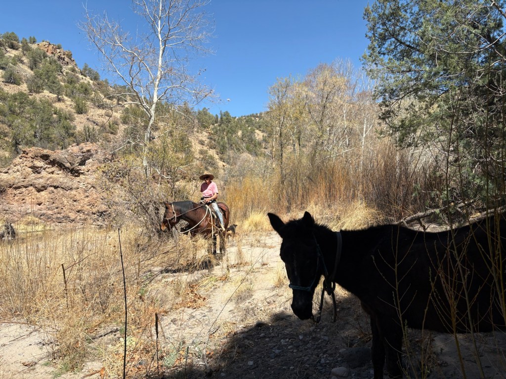
After another fine breakfast at Smokey’s diner, we headed back to the hotel to finish packing and to wait for the shuttle. Chad arrived at 10:30 and after a quick stop for gas we were on our way to the trailhead. There was another hiker there when we arrived. His name was Nico and he followed us briefly up the trail before we lost him. It was a steady and reasonable climb along a dirt road, through juniper and ponderosa pines. We stopped for brief rest at about 4 miles. At just over 8 miles we came to the turn off for Patterson tank. Just then Michelle rode up. She’s doing the trail with three horses and a dog, and she said a rancher had told her there is water at a spring near a campground a mile ahead. She decided to water her horses at Patterson tank and we pushed on to the campground. Spokes andMT went to fetch water while I watched our packs. It turned out to be good spring water; much nicer than the cow tank.
Michelle eventually turned up with her entourage, and we had supper together. Water, a picnic table to sit at, and a pit toilet. What more could a hiker ask for?
April 17, Day 20
Car campers returned to their camp after dark, and were respectfully quiet, although their lights were rather bright. So we returned the courtesy by quietly breaking camp in the morning.
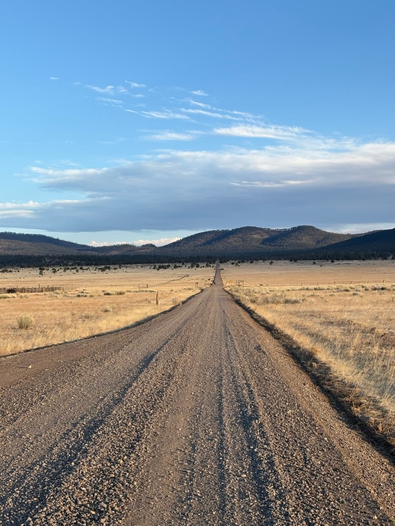
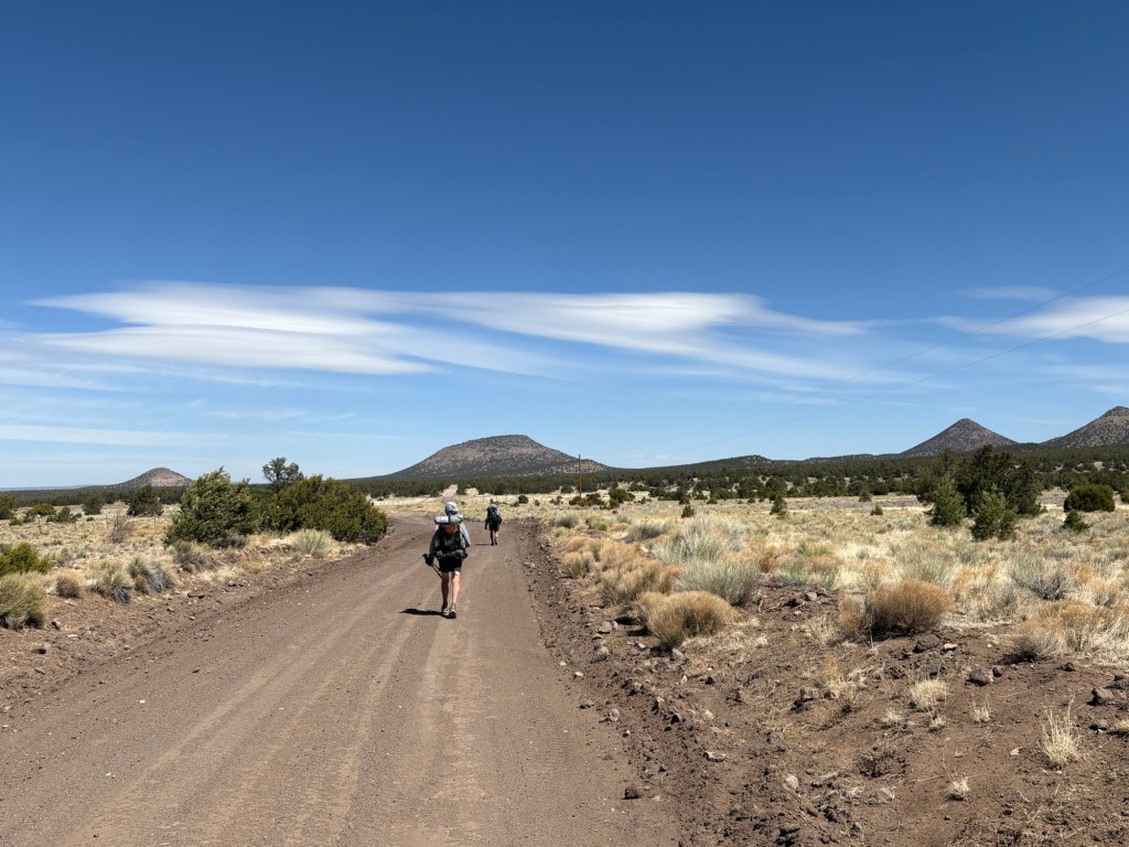
It began with an elevation gain of about 1500 feet over 3 miles. It was on a gravel road and the climb was steady with no major dips. So it passed easier than I’d expected. From there it was downhill steadily before the trail leveled out. I say trail, but the entire day was spent on gravel and dirt roads.
At ten miles we stopped at a working water spigot at the side of the road, but decided we didn’t need any water just then. A bit more than six miles further on we arrived at Davila Ranch. It’s kind of a hiker hostel the owners have set up – water, shower, laundry, WiFi, flush toilet, cooking facilities, and even a little food. Donation based. I definitely donated. What nice people.
A short while after our arrival, Michelle and her horses and dog arrived. The grass around here isn’t nutritious enough and she had arranged with the owner to bring some hay, etc. When he arrived, he brought fresh eggs. Nice guy.
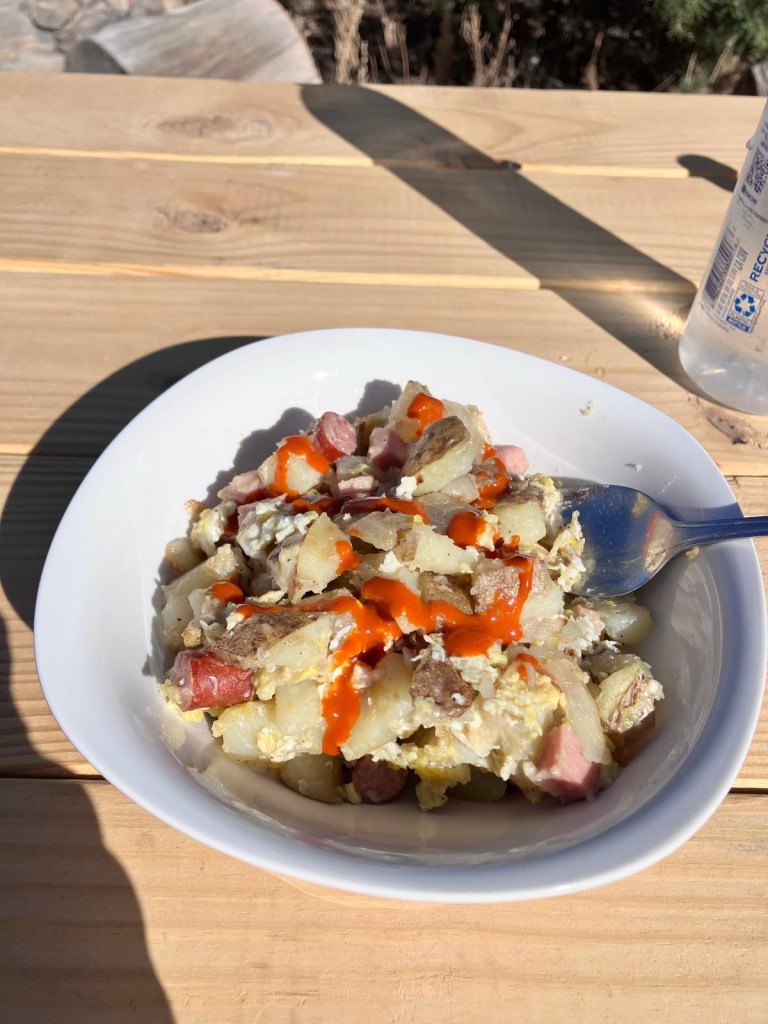
For dinner, Spokes took some potatoes and onions and eggs from the refrigerator, added in some Spam and chopped up meat sticks from our food sacks, and whipped up a gourmet hobo hash.
17 miles for the day. Pie Town tomorrow.
April 18, Day 21
After we had turned in, cowboy camping in one of the three-sided shelters, the owner pulled up in his pickup and said, “Get up! The party is just starting!” He pulled out a sack of oranges, a sack of apples, and a 12 pack of beer. He felt like chatting and we had a beer with him, but declined a second. Any other night it would have been fun and interesting to talk longer with him. He’s well-traveled and an interesting guy. He told us we should definitely visit Bhutan.
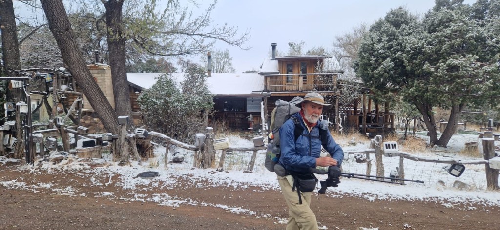
We were up at 5:00 and hiking by headlamp at around 6:00. MT left before Spokes and me, and I didn’t see him again until the post office in Pie Town. He was in town-day gear. We got our packages and went to the Toaster House to sort through them. We’d all sent more food than we need for the leg to Grants, so we took the leftovers and boxed them up and MT and Spokes sent the box ahead to Cuba, NM.
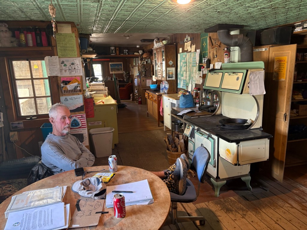
The Toaster House is a hiker/mountain biker hostel that is world famous. When the mass of hikers passes through Pie Town, it is a happening place. We’re ahead of the bubble of hikers, so we had the place to ourselves until hiker Nico showed up. We had a pleasant evening feeding the wood stove and relaxing.
April 20, day 22
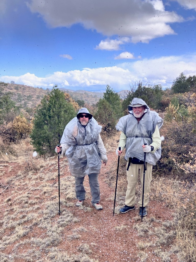
We woke at 6:00 to find it had snowed overnight. Not much, and it hadn’t stuck to the roads. After coffee and breakfast we headed out. It was chilly, but not uncomfortable until the wind increased. It was windy all day with intermittent snow. Not a pleasant day, but probably easier on our road walk than it would have been on a proper trail.
We took a break in the shelter of a juniper for a quick snack, then pushed on to TLC Ranch. There was water and an outhouse and a table and chairs. But since it was so cold, we opted to sit against a tank in the sun and out of the wind.
After that break we pushed on to a solar well and opted to camp near the water rather than push on to a dry camp. Even though it was kind of early (4:15), the weather was still cold and snowy and we’d come 22 miles. We set the tents up right close to the downwind side of a juniper and filtered water and had supper. It’s supposed to be 22 degrees at 6:00 in the morning, but it’s also supposed to be 59 degrees late tomorrow afternoon.
April 21, Day 23
We woke up with our water bottles frozen nearly solid. The tents were covered with frost, inside and out. My thermometer read 11 degrees at 6:00. After coffee and a quick breakfast we were on the road. Literally. It was another road walk on a gravel road. As the sun came up, so did the temperature, and the day became rather pleasant. Much better than yesterday. We had almost 19 miles to go to the next water source, and the water bottles thawed in good time.
We’d been walking on York Ranch Road, and after about 5.5 miles we came to York Ranch. The Cebolla Alternate left the road there and headed east, before turning north. After a few miles following a dirt road covered with sand (like walking on beach sand) the trail became more like an actual trail. It followed a deep gorge in Armijo Canyon. We saw some big cat tracks in the sand, although we saw no mountain lions. But that doesn’t mean they didn’t see us. After about 9 miles we came to an abandoned homestead. The house was made of adobe bricks and there were ruins of a corral, etc. It was a beautiful setting, and we took a lunch break there and dried our tents and sleeping bags.
From there we pushed on another 9 miles or so to another solar well where we filtered water and cooked an early supper. A mile or so after that we joined Highway 117 and walked to the South Narrows picnic area. An old lava flow from the west ends right at the picnic area, with bluffs on the east side. There is no camping allowed there, so from the picnic area we joined the Narrows Trail which climbs above the picnic area, and found a flat spot to camp. Still within easy reach of the pit toilets at the picnic area.
26.4 miles for the day.
April 22, Day 24
We were up at the usual time, and we made a stop at the picnic area for the pit toilets. The temperature was 20 degrees this morning, so better than yesterday. Then we began the long road walk along the highway to Grants, NM. We were passing through the Acoma Pueblo Reservation. The first half of the hike had spectacular views. The cliffs were beautiful in the morning sun. We passed by the Ventana Arch and stopped briefly for some photos. Then it was just a long slog along a paved road. We stopped at a closed ranger station for lunch on a picnic table. There was water available from a spigot, but we hadn’t used much while hiking in the cool morning. From there we pushed on until we came to Interstate 40 and a gas station with a Subway shop. We stopped for a sandwich before heading out for the final 6 or 7 miles to our hotel. We followed old Route 66, and it was fairly busy. The last bit was kind of dangerous- a busy 4-lane overpass over the railway with no sidewalk or shoulder to walk on. But we made it safely to the Motel 6 and checked in. After showers and laundry, we went to Denny’s for supper; the classiest option in the neighborhood. That’s the end of my hike, and I’ll be heading home from here.

Leave a comment