Sept. 3
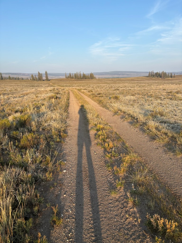
After recuperating at home and attending a wedding, I flew to Denver yesterday and overnighted at a hotel near Union Station. This morning I caught a bus to Salida. I arrived there at 9:50AM and trail angel Connie was there to pick me up. She dropped me off at Monarch Pass and I was hiking before 11:00.
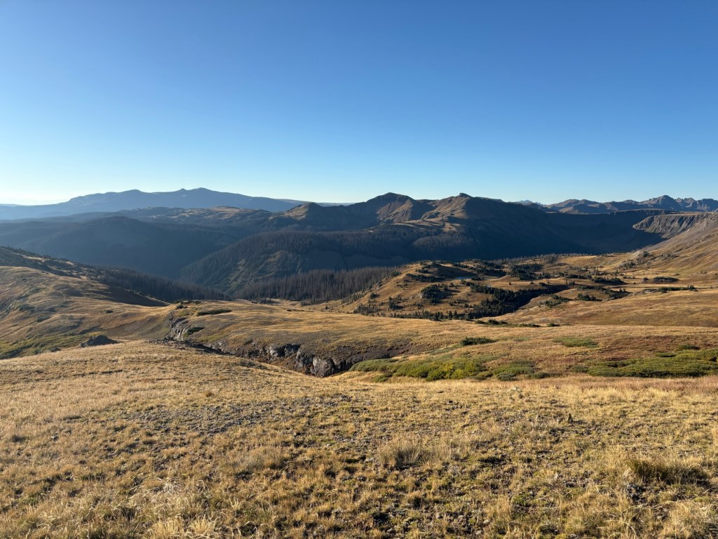
The first couple of miles were pretty easy going and then it started to rain/sleet. I put on the rain gear and kept on trucking. At about the 3 mile mark I took a fall and skinned up my knees. Since nothing else seemed to hurt, I kept on walking. The trail today had its ups and downs, but nothing as radical as what I’d seen further north. So I made pretty good time.
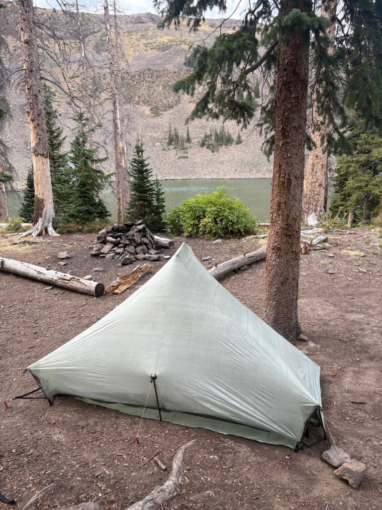
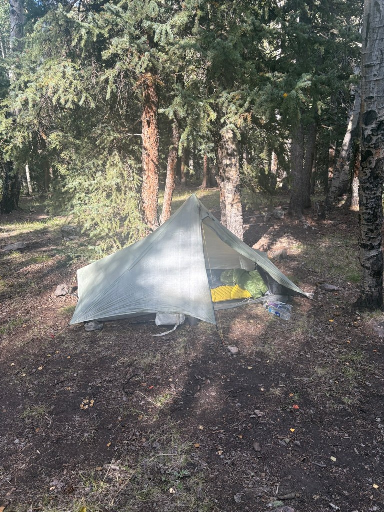
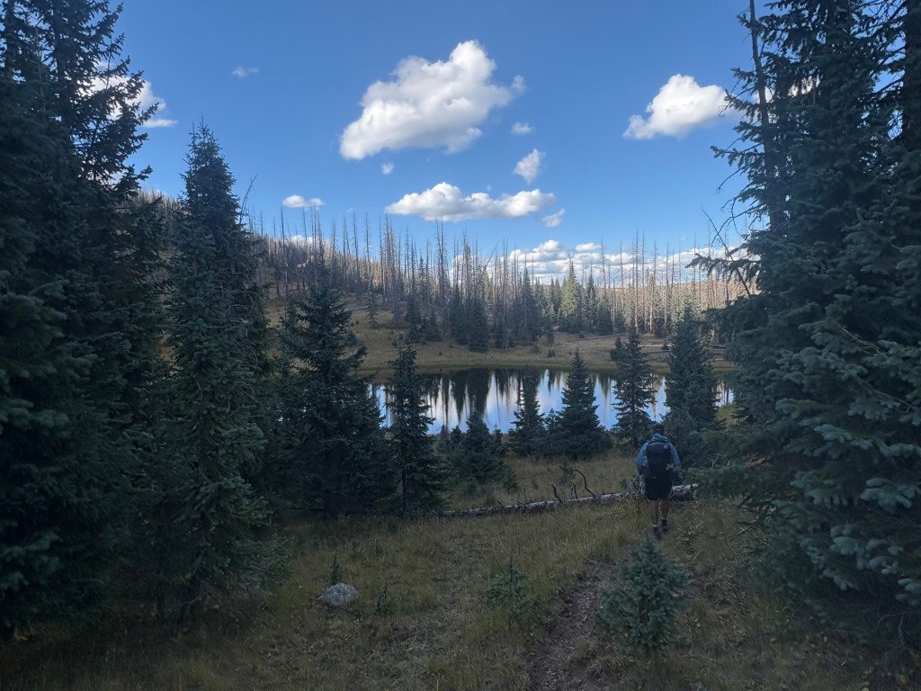
After 7 miles I stopped at a spring where a hiker named Stuart was just leaving southbound. We chatted briefly before he left and then I took a break for lunch. Eventually I caught up with Stuart and we walked together past Marshall Pass. We took a short break during an uphill, and I left before he did. While on the break, Daywalker passed us and I caught up with him a mile or two down the trail. He was moving a bit slower than me and fell behind. On the uphill towards the next water source Burgerman passed me like I was standing still. I caught him and a hiker named More Or Less at the water source. Soon after that, Daywalker showed up, and Stuart arrived just as I was leaving. Burgerman and More or Less took off and I was several minutes behind them. Daywalker caught up as I was scouting camp spots and we hiked together to this spot. There is a nice couple from Florida camped here and they invited us to camp nearby. More Or Less is camped a couple of hundred yards back up the trail. We had a nice chat around the campfire while eating supper and then it was dark. We all said good night and crawled into our tents. 17 miles for the day. Not bad for an 11:00 start.

Sept. 4
I tried to be as quiet as possible when packing up, out of consideration for my neighbors, and I was walking out of camp at 6:30. The next water source was Tank Seven Creek, five miles ahead. On the way I startled a deer, walked past two bike packers packing up their camps, and caused no apparent concern when I passed a grouse family on the trail.
At the creek I got some water and rinsed out yesterday’s socks while waiting for the water to filter. A single bike packer stopped to filter water and then carried on. Just as I was packing up another couple of bike packers showed up. All three bike packers and I would leapfrog each other for most of the day.
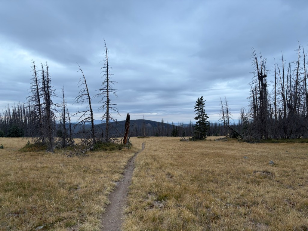
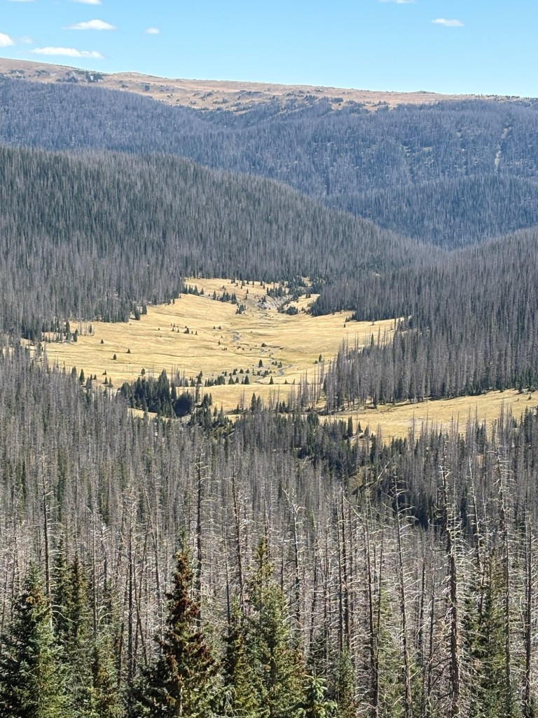
There was a four mile climb after the creek and I stopped for a snack when I reached the top. After that it was the usual ups and downs, through forests of mixed live and dead trees. Beetles have killed tremendous amounts of trees here.
After about 16 miles I came to the junction with Baldy Lake. If this water source isn’t used, it would be almost 22 miles between Tank Seven Creek and the next one. It’s a steep 0.4 miles descent to the lake. When I got to the lake I decided to stay for the night. It was still early enough to get more miles in, but since it was only my second day on the trail I decided to give myself a break. Also, that climb back to the trail carrying a bunch of water would be easier with morning legs.
I had a bite to eat and filtered some water from the lake. Three dirt bikers came by (the trails in this area are multi-use) and we had a pleasant conversation for a few minutes before they took off.
Around 5:00 my group from yesterday showed up – Stuart, Daywalker, and More Or Less. They just wanted to get some water, cook dinner, and push on. So I cooked and ate dinner with them. A hiker named Smokebeard came by to pick up water – he’d left his pack at the trail junction. Shortly after the group left, a couple came down the trail and found a camp site a little farther down the shore.
16.5 miles for the day. Topped out at a little over 11,700 feet. Camped at 11,275.

Sept. 5
When I was packed up and leaving this morning, the couple down the way were still snoozing. Stuart had told me to wake him in the morning and had described his tent – a Big Agnes two-person, red/orange color. As I neared the junction at the top of the climb, there was such a tent, pitched next to the trail. I began calling for Stuart and he stepped onto the trail, packed up and ready to go. I’d been hailing the wrong tent. Oops.
Shortly after we started walking we came to a clearing just in time to see a large herd of elk take off across the meadow. There must have been 30 or 40 animals. Great way to start the day. Once across the meadow and into the forest we encountered two camo-clad bow hunters. They were very interested in our elk sighting. A few minutes after that we came upon Daywalker just finishing packing up.
We began the day with a climb and then a longish descent. The trail was very rocky. Soon it began to rain, so we pulled on our rain gear and continued walking. Temps were in the 40’s, so the chill set in as soon as we stopped moving. At the top of one long climb we stopped for a break and a snack, but had to cut it short when we started feeling the chill.
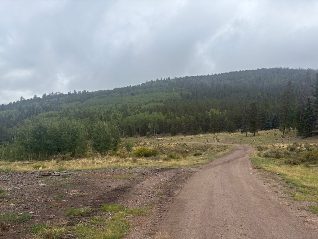
After we passed bone-dry Razor Creek the trail tread improved and rocks were fewer. From that point on the trail was mostly road walking – old abandoned roads, gravel roads, and one quarter mile stretch of highway walking.
On one of the long climbs I got ahead of the other two. When the trail descended to Lujan Creek, I thought I’d meet them at the first water source. But I had plenty of water, and I wasn’t hungry enough for a lunch stop, so I kept moving. Shortly after that water stop the trail crossed Highway 114 and Stuart hitched a ride to Gunnison.
I hiked solo to Los Creek, where I had just missed catching up with More Or Less. I learned that from the young couple filtering water and cooking dinner there. I grabbed a couple of liters and went uphill to a camp site. I scouted ahead, but didn’t like the campsite I found. As I was walking back to a better site, another herd of elk broke cover and trotted across the trail ahead of me. At least a dozen animals, with a bull bringing up the rear. When I got back to the chosen site, I farted around pitching my tent and whatnot. Then I decided I may need a bit more water so I went back to the creek, where I found Daywalker. He joined me at the camp site. Just as we finished dinner it began to rain again and we retired to our tents.
24 miles for the day.
Sept. 6
When the alarm went off at 5:30 the temperature was 31F. Hard to get moving. I rousted myself out and woke Daywalker and then crawled back into my quilt to make coffee and oatmeal.
When I was packed up and ready, Daywalker was making coffee, so I started hiking to beat the chill. The trail today was a long and gradual uphill, with no brutal climbs or descents, so the miles went quickly. After about 7 miles I stopped in a wide open sunny spot and spread my tent out to dry. The rain had caused condensation on the inside of the tent, and the outside was still wet, too. After about 30 minutes I decided it was dry enough and packed it up and took off.
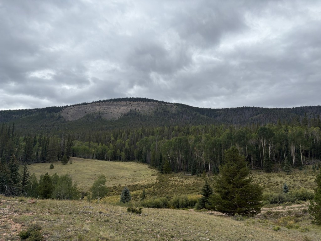
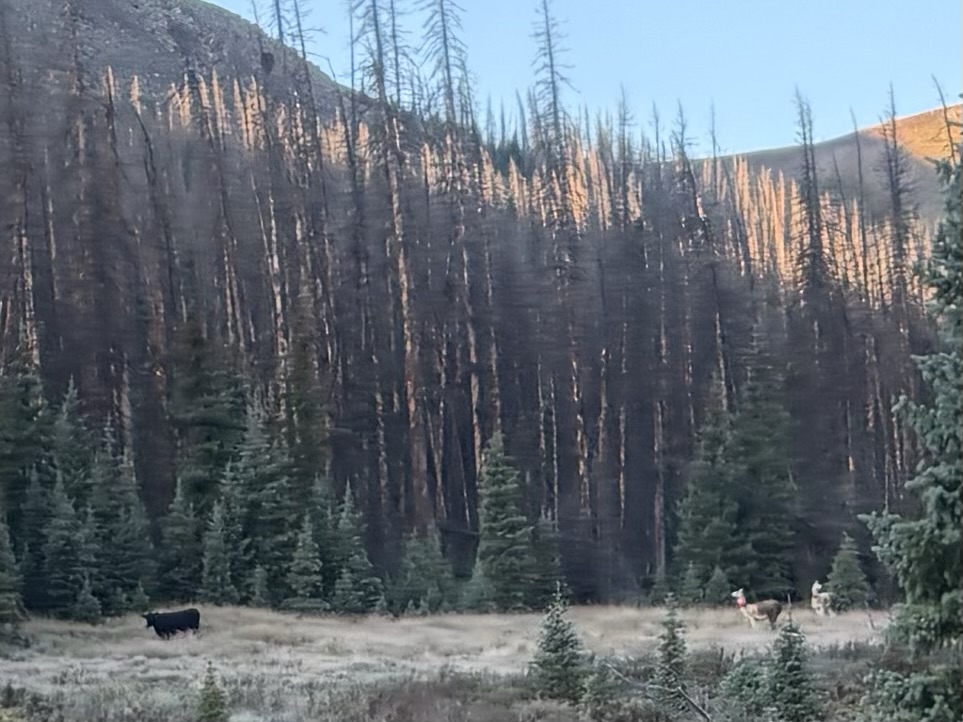
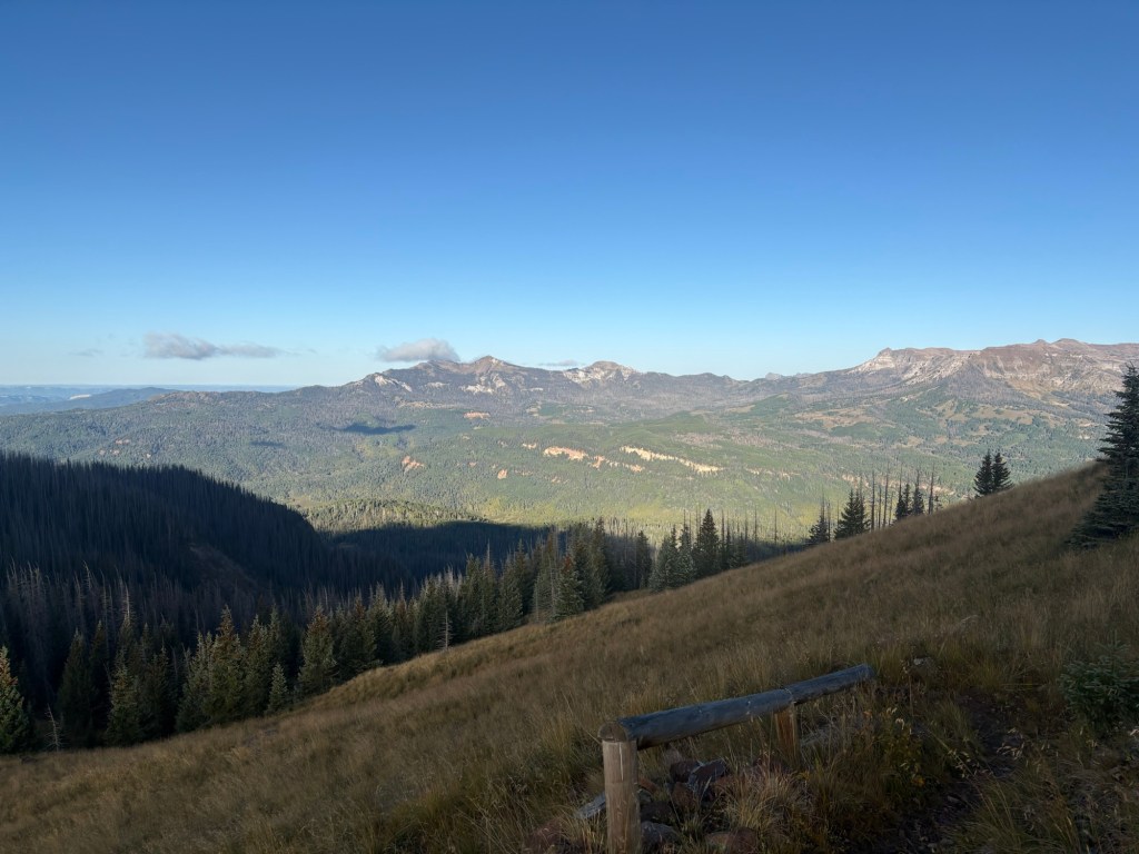
After yesterday’s socked-in kind of weather, I appreciated today’s views. It’s cow country, and there are grassy meadows topped by forested hills. At one point there were several cows who didn’t care for my approach and they tried to move away by going down the trail in front of me. I clicked my hiking poles together and that got them to move away from the trail.
Around 4:00 it began to rain, and I pulled on my rain gear and kept moving. I was hoping the rain would quit before I reached my chosen campsite. The rain stopped just a few minutes after I arrived and I quickly pitched my tent and got everything under cover. Just as I was changing into my sleeping clothes, to get out of the wet hiking clothes, Daywalker showed up. As he was trying to decide which tent spot he’d like, two bow hunters came walking into the camp. We talked for a bit. They’re camped across the creek from us, with horses and mules. They’re after bull moose.
I decided to eat supper in my tent, since there’s nothing dry to sit on. Good thing, because it started raining again before I finished. Gonna stay in the tent until it stops raining again and then I’ll dart out to brush my teeth and make a pit stop at a nearby bush.
23 miles today.


Sept. 7
Two other groups had joined us at camp just before dark- a single guy and a young couple. When I awoke at 5:30 I could see Daywalker’s headlamp, so I didn’t have to wake him and could avoid inadvertently waking the others. After the rain, the sky had cleared and the temperature dropped to 30 degrees. The condensation inside my tent had turned to frost and the outside was the same. My wet shoes had frozen, along with my socks, gloves, etc. The really annoying thing was I had to crawl out of my warm quilt at 3:30 to go dig a cat hole. It was not a voluntary action, believe me. After waking, I fired up the stove just outside the tent and made coffee and oatmeal from the comfort of my quilt. Then it was time to pack up my wet and frozen gear and get moving. It was no fun lacing up those frozen shoes. They felt like bricks for the first few yards.
While we were packing up, the hunters from across the creek rode through on horses, leading a couple of mules. I guess they were moving camp. Daywalker left a few minutes before me. I caught him later, filtering water at a creek. Along the way I saw a camp across the creek. There were two llamas there, and I watched them bluff charge a cow that had ventured too close to the camp. The llamas and the cow were having a stare-down when I left.
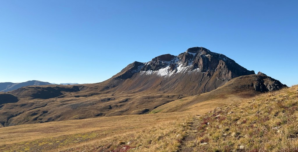
After I caught up with Daywalker the trail began climbing more steeply. I moved ahead and walked alone for a while. Near the top of the 12,600 foot saddle I met a barefoot hiker coming down. He had some very lightweight shoes dangling from his pack, but said he preferred to walk barefoot.
At the saddle there is a trail junction- a side trail leads to the top of San Luis Peak. After cresting the saddle I met one hiker heading for the peak. There were thin clouds hanging around the peak and he hoped they’d dissipate.
I met one more hiker heading up as I was coming down and then I was overtaken by a young couple who gave me some tips for my stay in Creede. The last half mile up to the next saddle was pretty steep, but then it was downhill to the junction with the trail to Creede.
Shortly after turning towards Creede I met a couple out for a day hike and we had a short conversation. The trail tended downhill and after several miles joined a gravel parking area and road. There is a popular off-road vehicle trail that begins at the parking area and I saw a lot of those vehicles on my way to town. The first one I saw stopped to talk and offered me granola bars, etc. I politely declined, since I’d be in town soon. Nice folks.
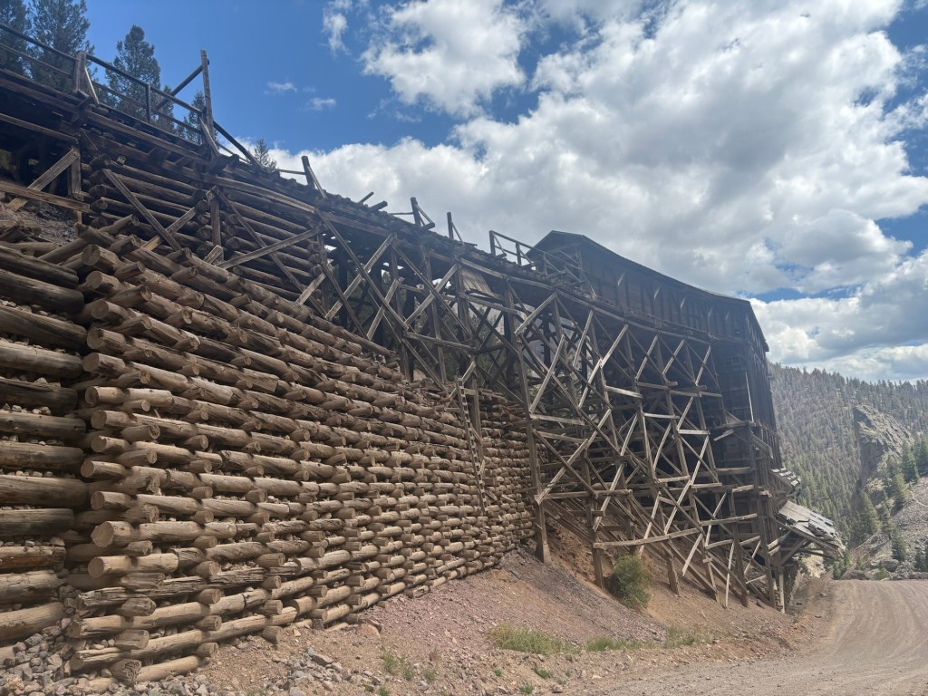
The road walk wasn’t the most pleasant experience, but the views were good. I passed by an enormous beaver dam complex that must have extended more than a mile along the creek. As I neared town the trail passed by some long defunct mining structures and passed through a series of slot canyons.
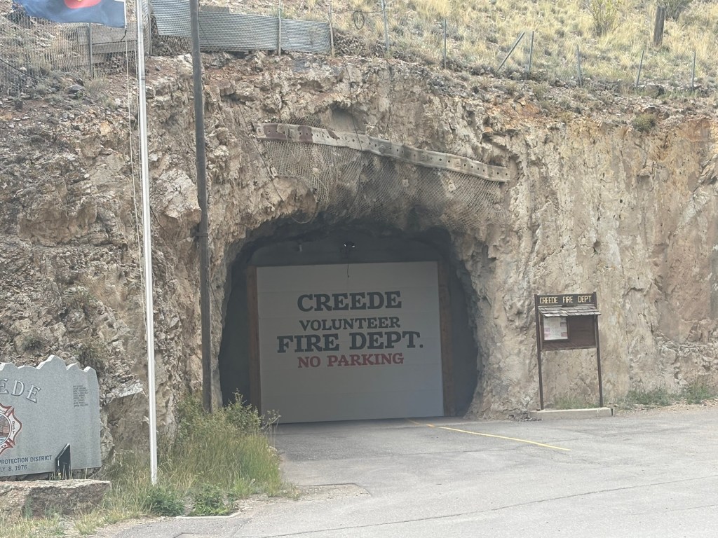
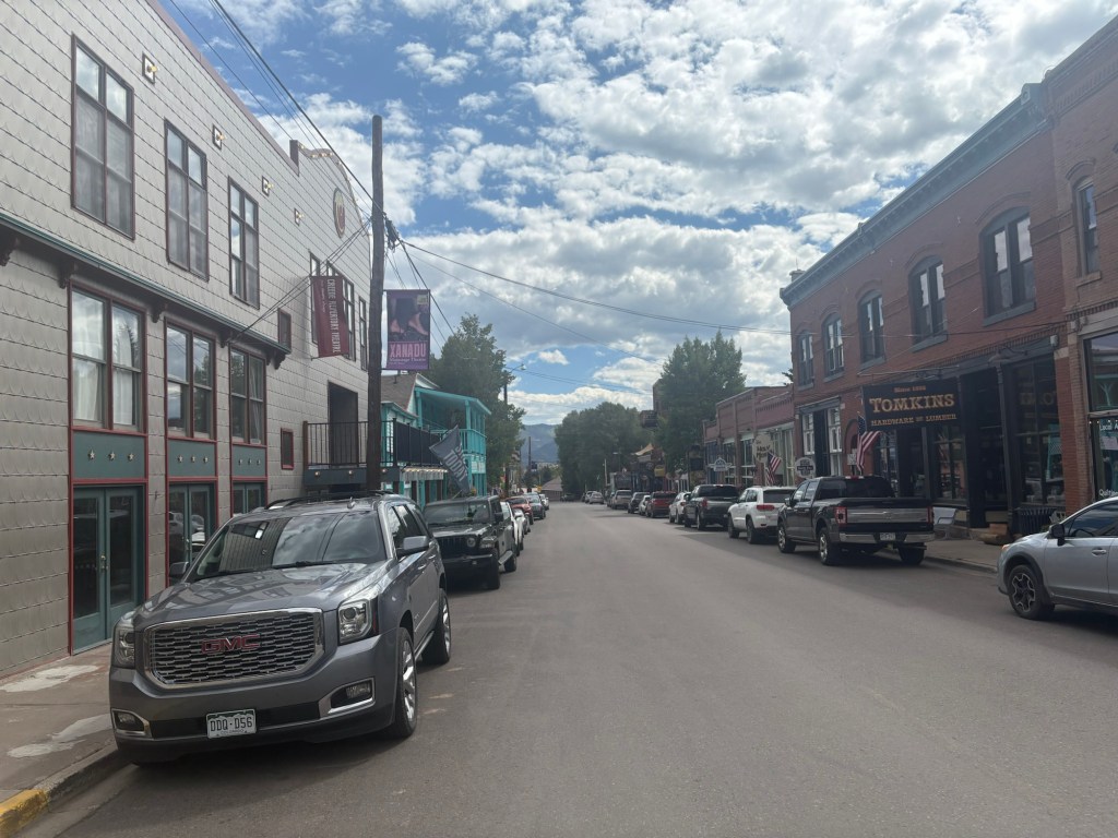
I didn’t get a cell phone signal until I was almost in town. I walked through the downtown area and came to a tavern. I decided to have a beer while I lined up a hotel room. One of the guys from the first ATV was there and when he learned that I had walked 19 miles today insisted on buying me a beer. How could I refuse?
I lined up the hotel room, got checked in, did laundry, dried my tent and quilt in the sun, and then went out for a burger. Tomorrow will be a zero day, and I’ll figure out my resupply, etc.
19 miles for the day. 98 miles since Monarch Pass.


Sept. 8
Zero day in Creede. Took care of a tiny blister, washed my cook pot and spoon, cleaned my water filter and relaxed. Back at it tomorrow, hopefully. I had hoped to cross paths here with Mama Troll, but the timing didn’t work out.

Sept. 9
I was up early and packed up in time for my free breakfast at 7:00. It’s served a block away at a diner owned by the motel owner’s daughter and son in law. They make a great breakfast burrito.
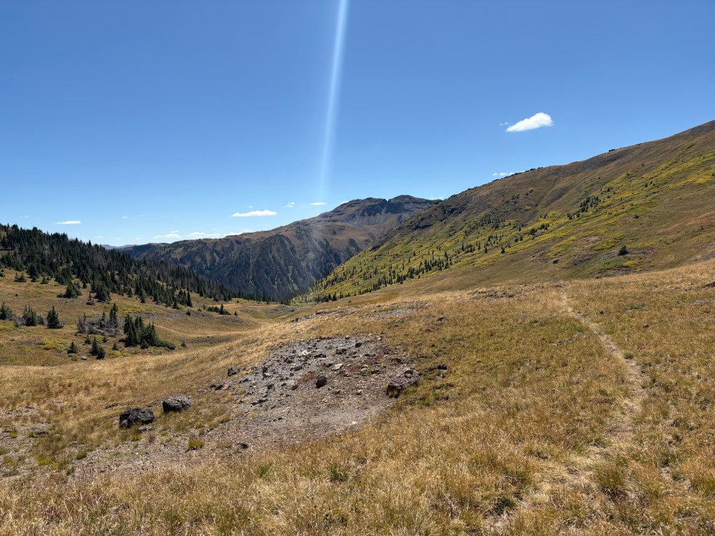
So I was hiking out of town shortly before 8:00. It began as a road walk, and in about 2.5 miles I crossed the Rio Grande. At about 3 miles I left the road and started up the Deep Creek trail. I encountered several day hikers in the first few miles, and then didn’t see another person for about 10 miles. The trail climbed steadily and then steeply, topping out at around 11,500 feet. It rambled along above 11,000 feet for a few miles and then began descending alongside the Roaring Fork Creek. Lots of cattle around. It rained a couple of times, and was a bit breezy up high. I met a single female day hiker who said she lived in the area, but saw no one else. Then the trail began descending sharply to Fisher Creek where I found a decent camp site and quit around 4:00. I set up camp and cooked dinner. It began to sprinkle, so I moved to the tent to finish up.
20 miles for the day.


Sept. 10
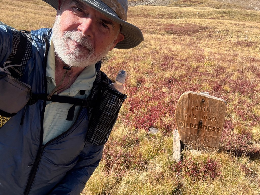
I should have been well rested after my zero day in Creede and my early stop time yesterday. But the 8 miles back to the CDT, following the Creed Cutoff, was a bit of a challenge. After crossing Fisher Creek the trail followed Goose Creek up the valley almost all the way back to the CDT. Earlier in the year there had been a tangle of blown down trees on the trail, some at switchbacks. That had made the trail difficult to follow, let alone walk on. Recently all that had been cleared, but that 8 miles still had its fun with me. The first couple of miles were relatively easy, but eventually the trail began to climb and become overgrown. While walking through waist-high grass my foot sunk into mud up to the ankle. And because of the high grass, and multiple trails (some were no-doubt animal trails)I briefly lost the trail and bushwhacked up a steep slope to rejoin it. Also, it rained hard for 15 minutes or so, and then stopped. A couple of times I heard what I believe were wolves yipping across the creek on the other side of the valley. It didn’t sound quite like coyotes, anyway.
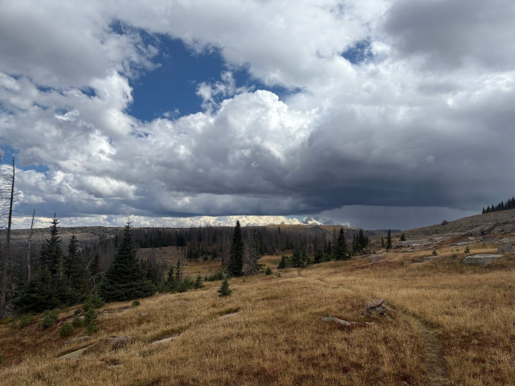
Just before reaching the top I noticed some clouds moving toward the trail. I found some trees for protection from wind and had a bit of lunch. Luckily, no rain just then.
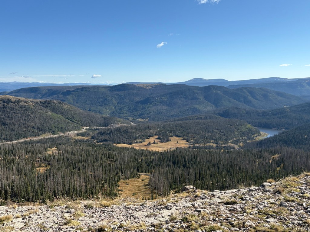
Upon rejoining the CDT the views were great. I was trucking along, and there were intermittent squalls moving through. Since it was windy, I just kept my rain jacket on. The trail roughly followed a ridge line, just below the ridge. Then it began a descent. Just above Archuleta Lake I met two hikers going to Monarch Pass: Cookie Monster and Pvt. Benjamin. We had a short conversation and continued on.
Just beyond Archuleta Lake the thunderstorms began in earnest. I was no longer on the ridge, but several hundred feet lower, so I kept going. I was thinking it would just be a brief storm. Wrong. I hiked another 4 miles to get to this camp. The trail had become a muddy stream, and footing was tricky. My shoes and socks were completely soaked. I was trying to get to Wolf Creek Pass to bail out and hitch a ride to town. But I was getting wet, even with rain gear, and I started to worry about hypothermia. So I pulled up here and pitched the tent. I changed into dry clothes and hunkered down in the tent. The storm abated long enough for me to grab some water from the lake and cook dinner. But it just returned with a vengeance. It’s loud in the tent with the rain coming down, to say nothing of the lightning and thunder. I hope everything holds together. I think I’ll try to get to the pass in the morning and hitch a ride to town.
Camped at Rock Lake. 17 miles for the day.

Sept. 11
Well, it was one of the wildest weather nights I’ve ever spent on the trail. The thunderstorms kept up all night, coming right over my camp. The lightning seemed very close and the thunder was deafening at times. The rain and hail continued, too. Everything stayed dry in the tent, or at least got no wetter. Fortunately, I had found a spot with a bit of protection from the wind and the tent held up well.
Things finally slacked off at around 4:30 or 5:00. Since I didn’t want to walk in the dark, I waited until 6:00 to start packing up. I skipped the coffee and breakfast and just started moving.
The trail was still wet and muddy with many puddles, but not as bad as yesterday. There were some ups and downs and a few spots with narrow trail on a steep side hill and the footing was a bit slippery. It was interesting to see from their hoof prints that deer were also slipping a bit. But overall, it was easy to see that I’d made a good call to stop when I did yesterday.
The rain started again about 45 minutes after I left camp. It rained off and on the rest of the way to the pass.
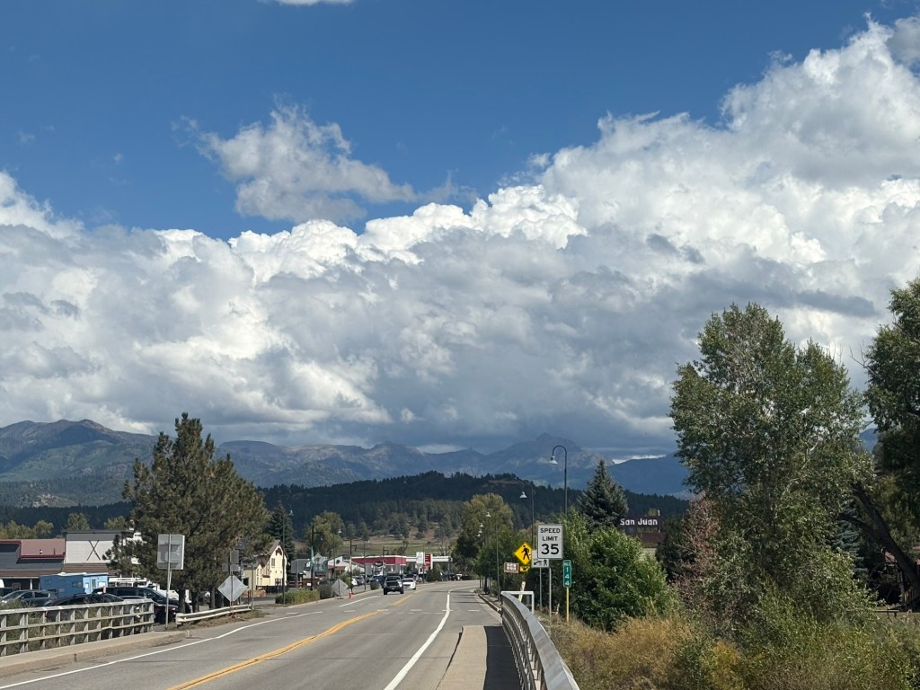
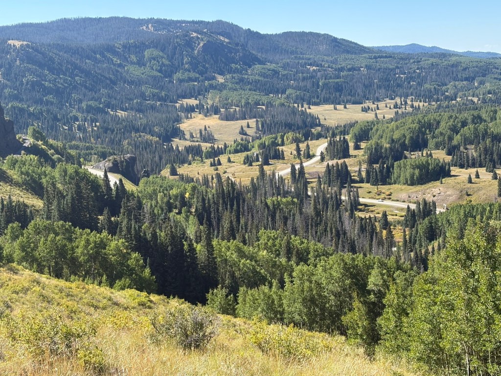
When I came out of the trees above the pass I saw several cars parked there. I walked across the highway to the big sign board there and was putting on another layer of clothing when a guy popped out of his pickup to ask if he could help in any way. He had so much stuff in his truck, and the passenger seat had been removed, so I said I’d be okay. He took off and a few minutes later a woman and her dog returned from a short hike. I asked for a ride and she asked where I wanted to go. There are two towns near the pass, in opposite directions. I said I didn’t care which town – whichever one she was headed to. So she gave me a ride to Pagosa Springs and dropped me off near the motel. Very nice woman, originally from a small town in Minnesota not far from where I grew up.
The motel has a “contactless” check-in system. You reserve on-line or by phone and when the room is ready they text you the key code for the room. I called on the phone and managed to get an early check in. Since everything was soggy, I much appreciated it. But it took a little while to get that sorted out, so I went downtown the street and had breakfast at a nice little spot. I think I’ll be here for a few days, until I see a decent weather forecast.


Sept. 14
After a couple of zero days in Pagosa Springs, waiting for the weather to improve, I was ready to make my move this morning. I was out at the junction with my thumb out at 7:00. Many cars passed me by, but at 7:45 John stopped. He’s a local and he was heading for the pass to do a day hike. Good guy, we had a nice conversation.
The trail began with a climb, of course, and followed along the upper limit of a ski area. When I took off, John had lagged behind to gear up for his hike. He caught me just before he turned off to Alberta Peak. I continued on. At the 12 mile mark I grabbed some water. The next certain source is 16 miles after that.
The trail was drier than when I left it, but was still muddy and mucky and churned up by deer, elk, and cows. Not the best footing. But the weather was nice, if a bit cool.
At Elwood Pass there was an established camp site, but two roads meet there, so I was a bit concerned about traffic. There was a travel trailer parked there, too – probably a hunter’s base camp. Also, there were a lot of dead trees around. So I kept going another 2 miles to this camp. I spotted about 6 or 8 deer just as I was nearing this spot. As I veered down into the bushes to look for a flat spot with some wind protection, I noticed a couple of hunters sitting on the hillside above me. We talked for a few minutes. They plan to come back before first light, and continue past my site.
38 degrees at 7PM. Gonna be chilly. Camped at 12,100 feet. 20 miles for the day.
Sept. 15
It was 26 degrees when I woke, and the tent had a heavy ice glaze both inside and out. I was slow to start, and even skipped my morning coffee because it was so cold. But eventually I got rolling. Soon after starting I came upon a father/son hunting team. They were working with the two I’d met last evening. This son had got his deer on the first day. A while after that I met another hunter from Iowa. We leapfrogged on the trail for a while, since I couldn’t seem to get my clothing layers figured out. At a certain point we heard a rifle shot, and then another. Iowa put his binoculars on them and confirmed that they had got a deer.
Eventually I climbed out of that valley and left those hunters behind. But as the day progressed I saw more. Rounding a bend in the trail I found three hunters with their tents set up in a little saddle with good visibility of the valley below. We talked for a few minutes before I moved on. Nice guys. Then I saw two separate horse/mule setups later in the afternoon.
For most of the day the trail was in poor condition and sometimes was hard to follow. So it was a constant struggle.
After grabbing some water from a creek I climbed up to this spot. Not the most protected, but the forecast is good. It’s going to be another cold night, and I expect condensation like last night.
Camped at 11,800 feet. 19 miles for the day.


Sept. 16
To my surprise the tent experienced no condensation overnight. The temperature dropped to the mid-30’s, but did not freeze. I was up and hiking before sunrise and it was chilly. After about four miles, as I was walking along the shore of Blue Lake, I saw a hiker packing up. His name was Dizzy and he’d been camped on the site of a long gone cabin. Only the chimney remained. He said he’d chased a bear away last night. I took off before he’d finished packing up.
Soon I met two couples coming northbound. They were headed for Wolf Creek Pass. The trail was above tree line for much of the day. After 7 miles, Dizzy caught up with me at Trail Lake. It was very windy but we sheltered behind some big rocks while we had lunch and filtered water.
The trail was above 12,000 feet at least three times today; once for three or four miles. It was very windy up high, and there were short periods of rain and hail to add spice to the wind.
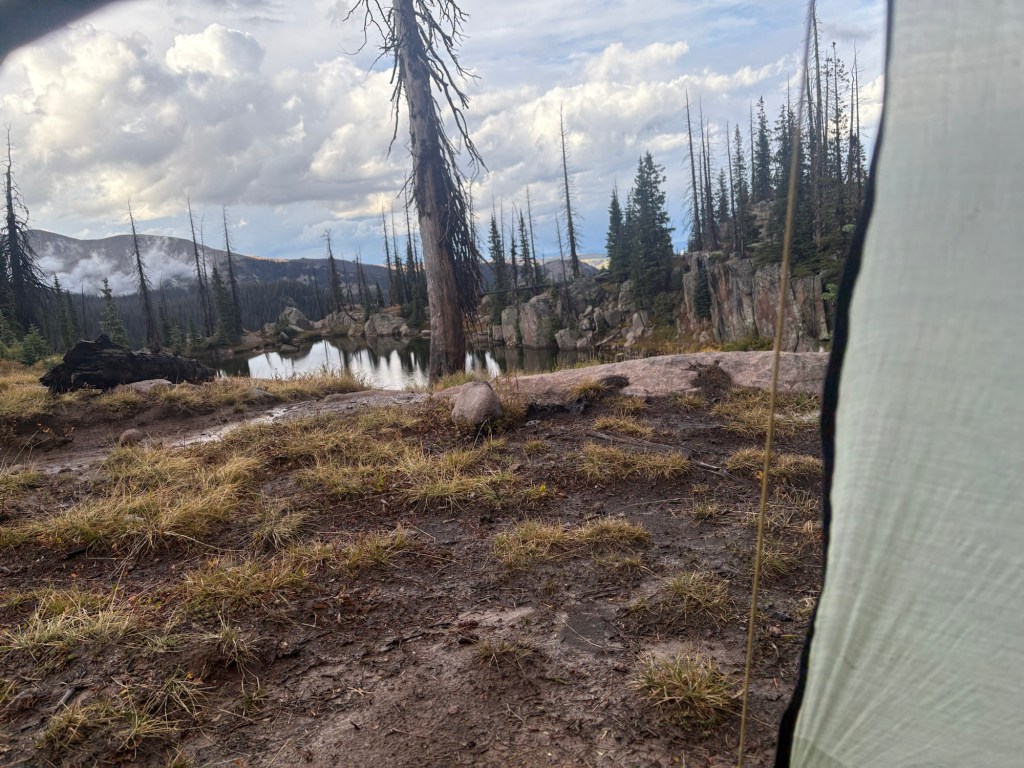
Toward the end of the day we left the trail to descend to a lake for water, and to camp for the night. Dizzy made a fire to celebrate our last night on the trail. A helicopter flew over our site, and circled back for another look. Not sure what that was about. After supper, when the fire had died out we crawled into our tents.
Camped at 11,400 feet. 23 miles for the day.


Sept. 17
My stove ran out of fuel before the water boiled, so I had lukewarm coffee as I packed up my gear. Dizzy’s stove also ran out of fuel before his water boiled. Since it’s the last meal of the trip, I guess we timed it right.
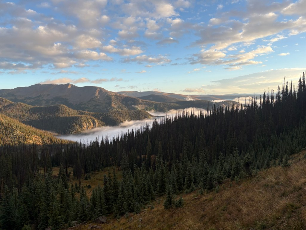
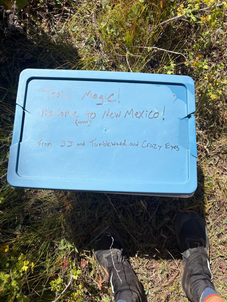
When I left, Dizzy was still having his breakfast. I thought he’d catch me, but I didn’t see him again. It was very chilly until the sun rose high enough to warm things up. At first the trail was mostly in shade, which kept it pretty cold. Eventually it warmed up, and I was able to shed layers of clothing. After yesterday’s 12,000 feet, the trail was more moderate, and it wasn’t nearly as windy. The sky was mostly clear, just a few high clouds blowing by. The views were fantastic. With a few moderate climbs, the trail tended downhill to Cumbres Pass. In about 10 miles I came to some trail magic – a plastic container filled with beer, wine, and soda. It was labeled “Welcome to New Mexico”. Then I passed under a railroad trestle and came to the highway. From there, I intended to hitch to Chama. As I was just finishing stowing my trekking poles and pulling out my “Hiker To Town” sign for hitchhiking, a car came by and I stuck my thumb out. They pulled over to give me a ride. Amazing – the first car pulled over before I’d had a chance to use my sign. It was a nice couple, and we had an enjoyable conversation on the way to Chama. They dropped me off at a bar/restaurant, which turned out to be closed. It was just 11:00, and I had time to figure out my next step. On the boardwalk in front of the establishment I stretched out my tent to dry in the sun and the breeze, and started figuring out buses and flights.
There is a free bus from Chama to Espanola, and then from Espanola to Santa Fe. The way the bus schedules and flight schedules lined up, it looked like I’d need to overnight in Santa Fe. So I packed up my almost dry tent, and wandered down to a diner. Over my cheeseburger and fries, I booked a flight and a hotel. The next bus wouldn’t leave until 3:30, so I had time to kill.
Two other young men boarded the bus with me at Chama, and on the way to Espanola the bus stopped at a correctional facility to pick up another young man. They all sat together at the back of the bus, and they got off at a stop just before the Espanola transit center. Despite appearances, they were very polite to the friendly driver as they departed. Since my reading of the schedule indicated I was too late for the Santa Fe connection, I’d scheduled an Uber. It turns out I was mistaken, but I ended up having a great conversation with the Uber driver. It seems we were in Kodiak at the same time during the 1970’s. I got checked into the hotel and managed to do some laundry so I won’t offend my fellow passengers on the plane tomorrow.
10 miles for the day.
Sept. 20
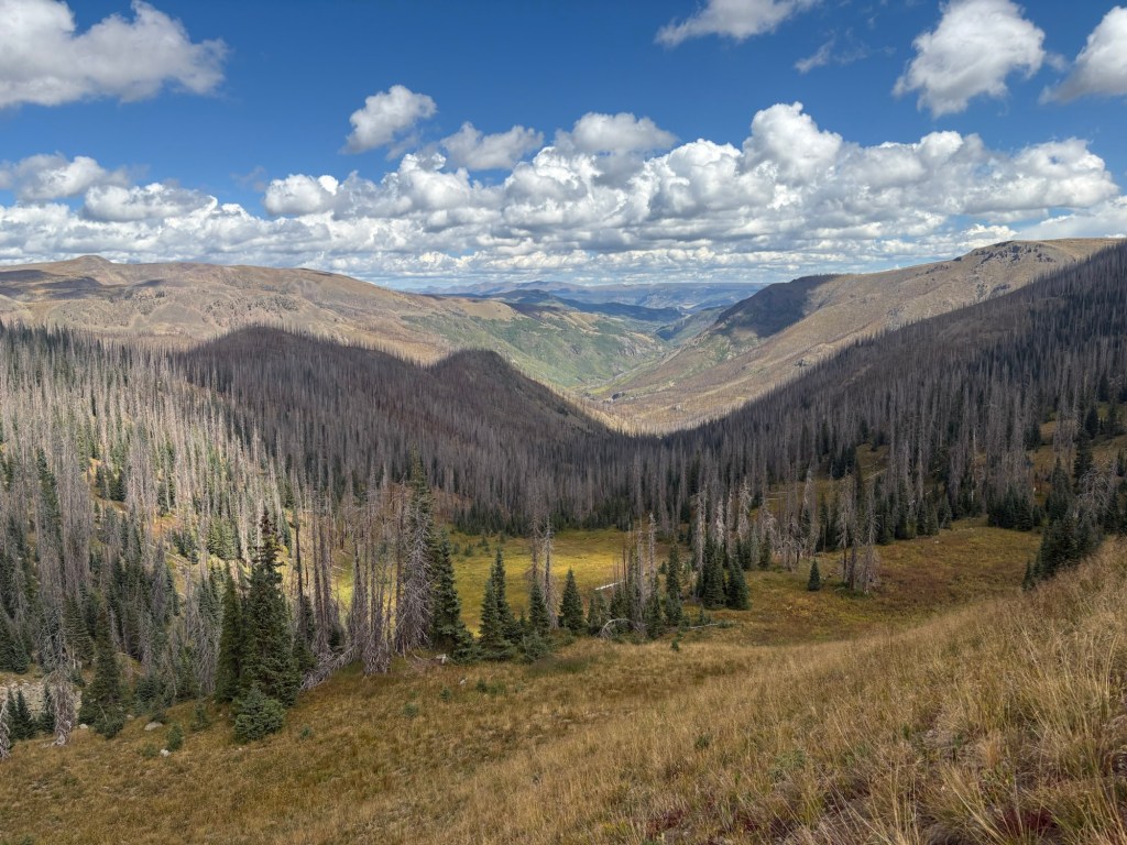
I got home a couple of days ago, and I guess my backpacking is finished for the year. The days spent in Pagosa Springs caused me to run short of time. I needed to be home for Jackie’s cataract surgery on the 23rd, and I didn’t have enough time to be sure of getting home in time if I were to continue on to Ghost Ranch. So I ended the hike at Cumbres Pass. I don’t regret holding up in Pagosa Springs. The weather in the mountains was pretty bad while I was in Pagosa Springs; in fact, two hunters lost their lives during that bad weather. The helicopter that flew over our camp that last night had been searching for those hunters. I’m sure I’ll have another opportunity to hike those miles between Cumbres Pass and Ghost Ranch. With that stretch, and the northernmost stretch of Colorado, I have about 240 miles to go in order to have hiked all of the CDT in New Mexico and Colorado. Maybe next year, after I take another float down the Mississippi.

Leave a comment